
Distance between  Carrigans and
  Newtowncashel
96.44 mi Straight Distance
113.14 mi Driving Distance
2 hours 58 mins Estimated Driving Time
The straight distance between Carrigans (Donegal) and Newtowncashel (Longford) is 96.44 mi, but the driving distance is 113.14 mi.
It takes 2 hours 58 mins to go from Carrigans to Newtowncashel.
Driving directions from Carrigans to Newtowncashel
Distance in kilometers
Straight distance: 155.17 km. Route distance: 182.04 km
Carrigans, Ireland
Latitude: 54.9512 // Longitude: -7.42829
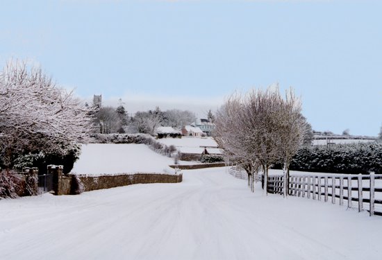
Photos of Carrigans

 -Killea-1994")


Carrigans Weather

Forecast: Overcast clouds
Temperature: 4.1°
Humidity: 89%
Current time: 10:40 PM
Sunrise: 07:04 AM
Sunset: 06:16 PM
Newtowncashel, Ireland
Latitude: 53.5875 // Longitude: -7.93795
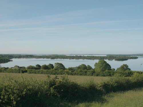
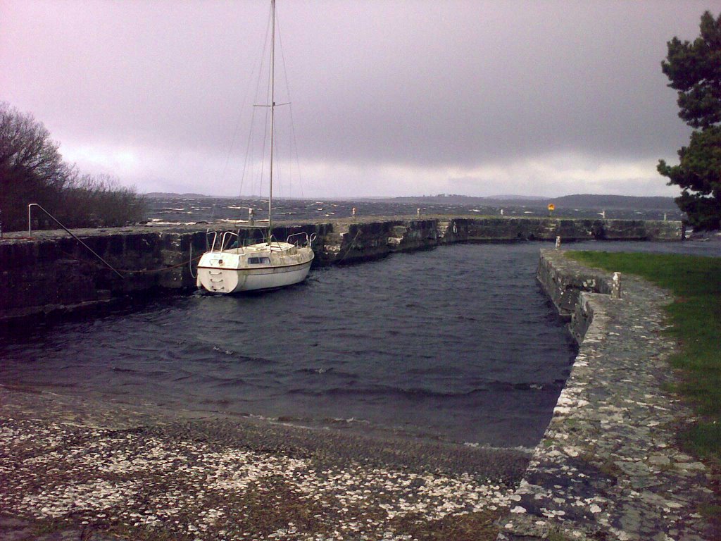
Photos of Newtowncashel


Newtowncashel Weather
Forecast: Overcast clouds
Temperature: 3.3°
Humidity: 88%
Sun info not available


