
Distance between  Carrigans and
  Kiltiernan
128.63 mi Straight Distance
160.64 mi Driving Distance
3 hours 26 mins Estimated Driving Time
The straight distance between Carrigans (Donegal) and Kiltiernan (Dublin) is 128.63 mi, but the driving distance is 160.64 mi.
It takes to go from Carrigans to Kiltiernan.
Driving directions from Carrigans to Kiltiernan
Distance in kilometers
Straight distance: 206.96 km. Route distance: 258.47 km
Carrigans, Ireland
Latitude: 54.9512 // Longitude: -7.42829
Photos of Carrigans

 -Killea-1994")


Carrigans Weather

Predicción: Overcast clouds
Temperatura: 2.4°
Humedad: 83%
Hora actual: 06:59 AM
Amanece: 07:53 AM
Anochece: 05:33 PM
Kiltiernan, Ireland
Latitude: 53.236 // Longitude: -6.19378
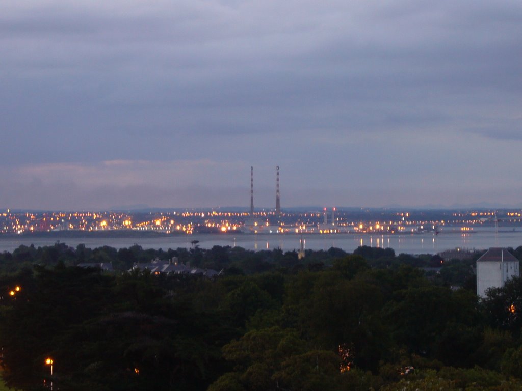
Photos of Kiltiernan


Kiltiernan Weather
Predicción: Broken clouds
Temperatura: 3.2°
Humedad: 97%
Hora actual: 06:59 AM
Amanece: 07:44 AM
Anochece: 05:33 PM


