
Distance between  Camp and
  Kealkill
39.51 mi Straight Distance
72.01 mi Driving Distance
1 hour 52 mins Estimated Driving Time
The straight distance between Camp (Kerry) and Kealkill (Cork) is 39.51 mi, but the driving distance is 72.01 mi.
It takes 1 hour 52 mins to go from Camp to Kealkill.
Driving directions from Camp to Kealkill
Distance in kilometers
Straight distance: 63.57 km. Route distance: 115.86 km
Camp, Ireland
Latitude: 52.2209 // Longitude: -9.90892
Photos of Camp


Camp Weather

Forecast: Overcast clouds
Temperature: 11.8°
Humidity: 95%
Sun info not available
Kealkill, Ireland
Latitude: 51.7508 // Longitude: -9.38028
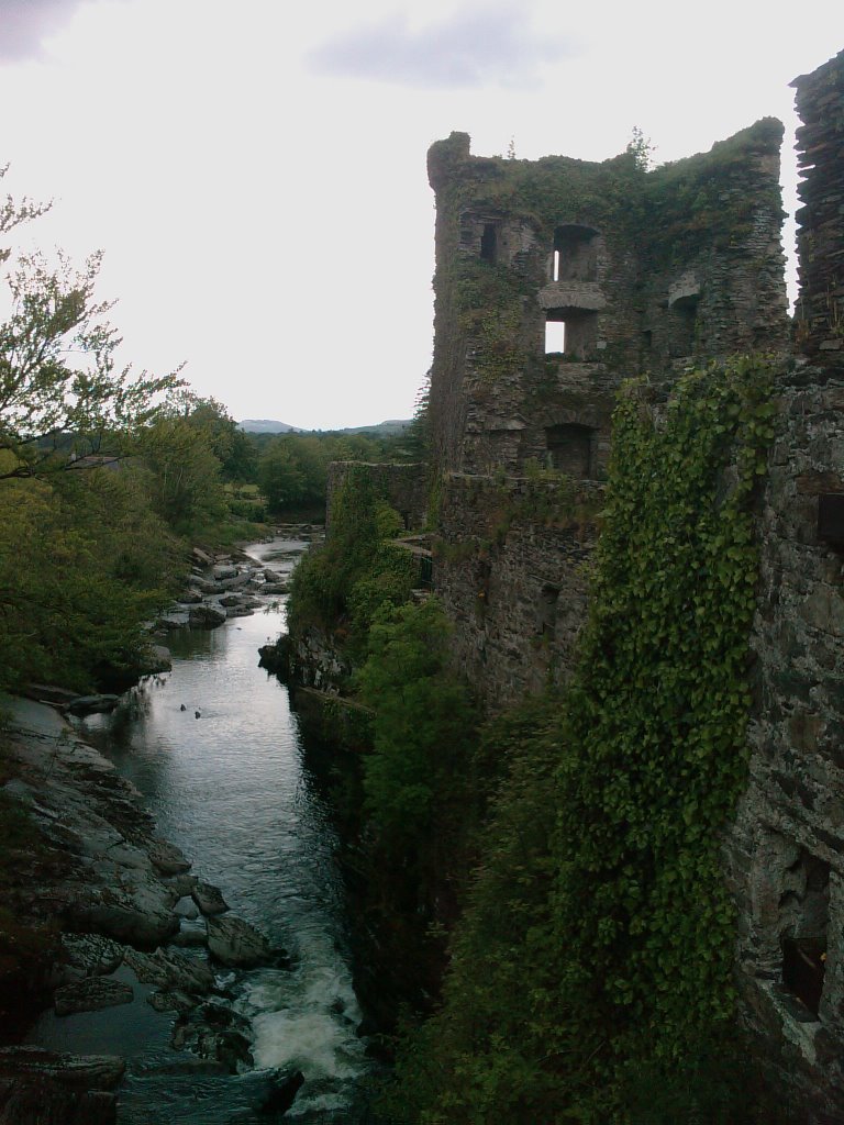
Photos of Kealkill


")

Kealkill Weather
Forecast: Overcast clouds
Temperature: 10.1°
Humidity: 98%
Sun info not available


