
Distance between  Camp and
  Dundalk
190.18 mi Straight Distance
244.28 mi Driving Distance
4 hours 42 mins Estimated Driving Time
The straight distance between Camp (Kerry) and Dundalk (Louth) is 190.18 mi, but the driving distance is 244.28 mi.
It takes to go from Camp to Dundalk.
Driving directions from Camp to Dundalk
Distance in kilometers
Straight distance: 306.00 km. Route distance: 393.04 km
Camp, Ireland
Latitude: 52.2209 // Longitude: -9.90892
Photos of Camp


Camp Weather

Forecast: Moderate rain
Temperature: 8.8°
Humidity: 90%
Current time: 12:00 AM
Sunrise: 07:44 AM
Sunset: 06:02 PM
Dundalk, Ireland
Latitude: 53.9979 // Longitude: -6.40596
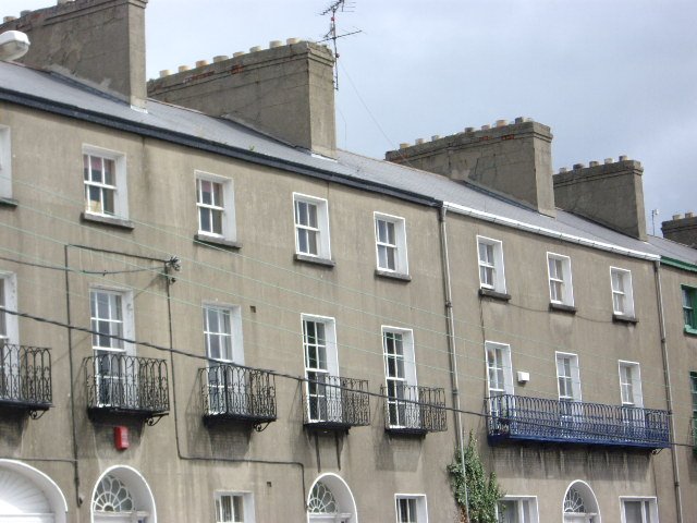
Photos of Dundalk


Dundalk Weather
Forecast: Moderate rain
Temperature: 5.1°
Humidity: 95%
Current time: 06:19 AM
Sunrise: 07:34 AM
Sunset: 05:44 PM


