
Distance between  Brittas and
  Roslevan
43.42 mi Straight Distance
57.60 mi Driving Distance
1 hour 16 mins Estimated Driving Time
The straight distance between Brittas (Cork) and Roslevan (Clare) is 43.42 mi, but the driving distance is 57.60 mi.
It takes 1 hour 16 mins to go from Brittas to Roslevan.
Driving directions from Brittas to Roslevan
Distance in kilometers
Straight distance: 69.86 km. Route distance: 92.68 km
Brittas, Ireland
Latitude: 52.2702 // Longitude: -8.5977
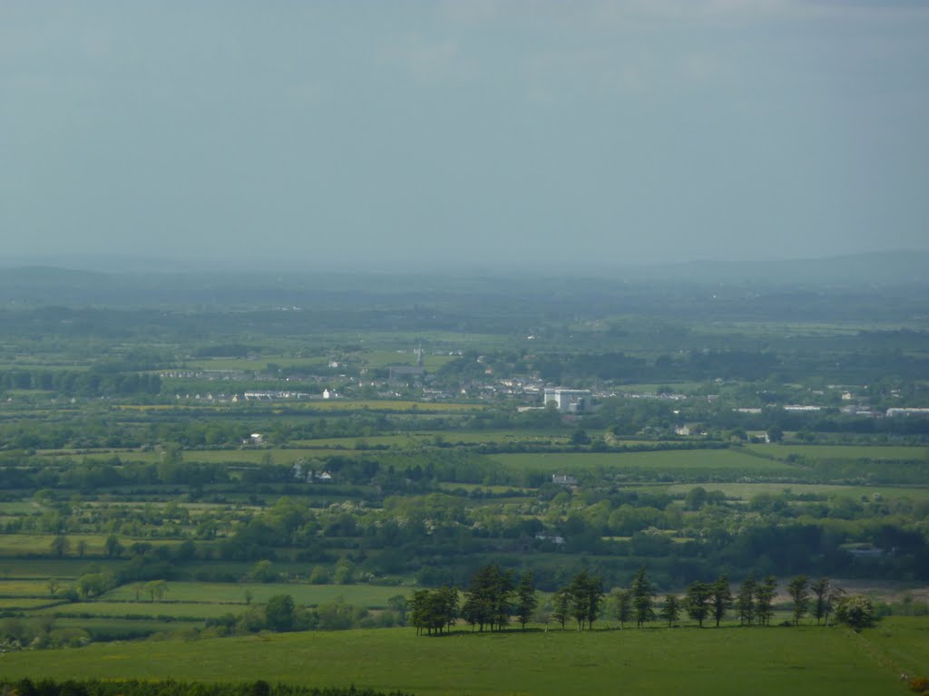
Photos of Brittas


Brittas Weather

Forecast: Clear sky
Temperature: 18.0°
Humidity: 40%
Current time: 06:37 AM
Sunrise: 07:02 AM
Sunset: 06:27 PM
Roslevan, Ireland
Latitude: 52.8594 // Longitude: -8.95727
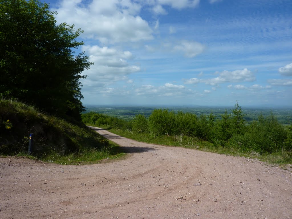
Photos of Roslevan


Roslevan Weather
Forecast: Clear sky
Temperature: 18.0°
Humidity: 40%
Current time: 06:38 AM
Sunrise: 07:04 AM
Sunset: 06:28 PM


