
Distance between  Brittas and
  Malahide
130.68 mi Straight Distance
155.25 mi Driving Distance
2 hours 59 mins Estimated Driving Time
The straight distance between Brittas (Cork) and Malahide (Dublin) is 130.68 mi, but the driving distance is 155.25 mi.
It takes to go from Brittas to Malahide.
Driving directions from Brittas to Malahide
Distance in kilometers
Straight distance: 210.26 km. Route distance: 249.80 km
Brittas, Ireland
Latitude: 52.2702 // Longitude: -8.5977
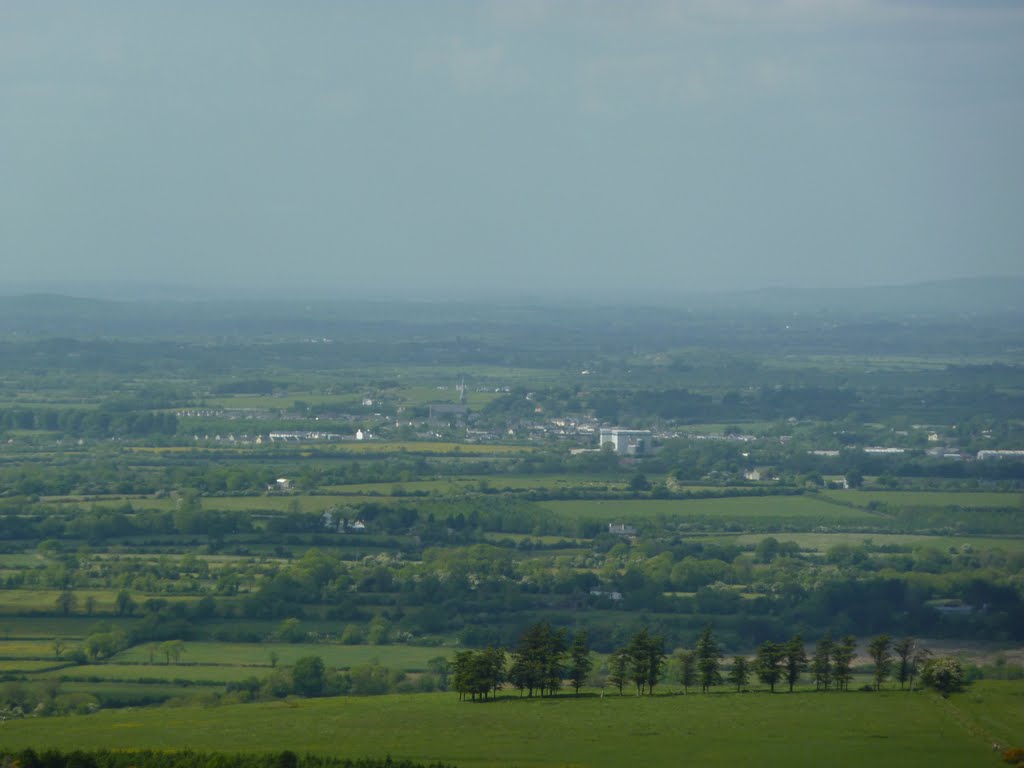
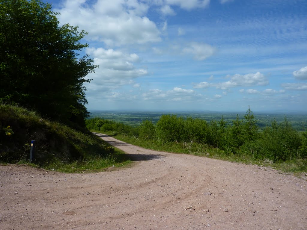
Photos of Brittas


Brittas Weather

Forecast: Overcast clouds
Temperature: 10.2°
Humidity: 88%
Current time: 05:51 AM
Sunrise: 07:27 AM
Sunset: 06:07 PM
Malahide, Ireland
Latitude: 53.4509 // Longitude: -6.15014
Photos of Malahide


Malahide Weather
Forecast: Broken clouds
Temperature: 12.4°
Humidity: 69%
Current time: 05:51 AM
Sunrise: 07:19 AM
Sunset: 05:56 PM


