
Distance between  Bray and
  Coolderry
54.64 mi Straight Distance
75.77 mi Driving Distance
1 hour 31 mins Estimated Driving Time
The straight distance between Bray (Wicklow) and Coolderry (Monaghan) is 54.64 mi, but the driving distance is 75.77 mi.
It takes 1 hour 31 mins to go from Bray to Coolderry.
Driving directions from Bray to Coolderry
Distance in kilometers
Straight distance: 87.92 km. Route distance: 121.91 km
Bray, Ireland
Latitude: 53.2009 // Longitude: -6.11107
Photos of Bray


Bray Weather

Forecast: Clear sky
Temperature: 4.5°
Humidity: 78%
Current time: 08:09 PM
Sunrise: 06:58 AM
Sunset: 06:13 PM
Coolderry, Ireland
Latitude: 53.9103 // Longitude: -6.69965
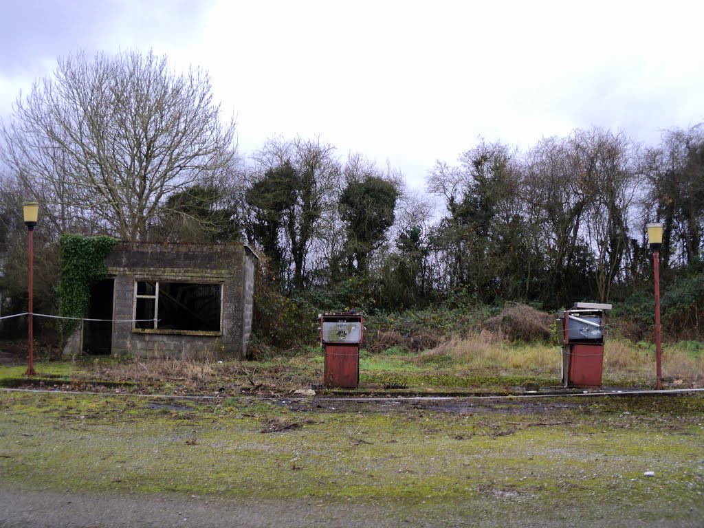
Photos of Coolderry


Coolderry Weather

Forecast: Scattered clouds
Temperature: 5.5°
Humidity: 83%
Sun info not available


