
Distance between  Blackwater and
  Castlelyons
83.54 mi Straight Distance
102.71 mi Driving Distance
2 hours 25 mins Estimated Driving Time
The straight distance between Blackwater (Wexford) and Castlelyons (Cork) is 83.54 mi, but the driving distance is 102.71 mi.
It takes 2 hours 25 mins to go from Blackwater to Castlelyons.
Driving directions from Blackwater to Castlelyons
Distance in kilometers
Straight distance: 134.42 km. Route distance: 165.26 km
Blackwater, Ireland
Latitude: 52.4474 // Longitude: -6.34693
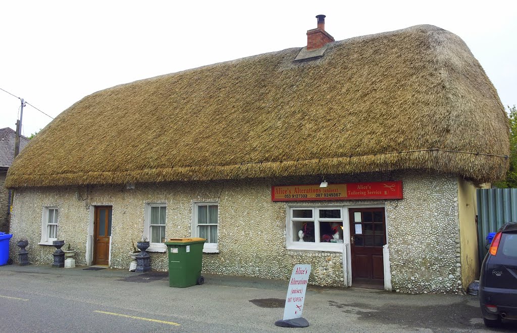
Photos of Blackwater


Blackwater Weather

Forecast: Clear sky
Temperature: 18.0°
Humidity: 40%
Sun info not available
Castlelyons, Ireland
Latitude: 52.0892 // Longitude: -8.23417
Photos of Castlelyons


Castlelyons Weather
Forecast: Clear sky
Temperature: 18.0°
Humidity: 40%
Current time: 10:19 PM
Sunrise: 07:03 AM
Sunset: 06:24 PM


