
Distance between  Ballymurphy and
  Blacklion
125.94 mi Straight Distance
172.11 mi Driving Distance
3 hours 31 mins Estimated Driving Time
The straight distance between Ballymurphy (Carlow) and Blacklion (Cavan) is 125.94 mi, but the driving distance is 172.11 mi.
It takes 3 hours 31 mins to go from Ballymurphy to Blacklion.
Driving directions from Ballymurphy to Blacklion
Distance in kilometers
Straight distance: 202.64 km. Route distance: 276.92 km
Ballymurphy, Ireland
Latitude: 52.5722 // Longitude: -6.86149
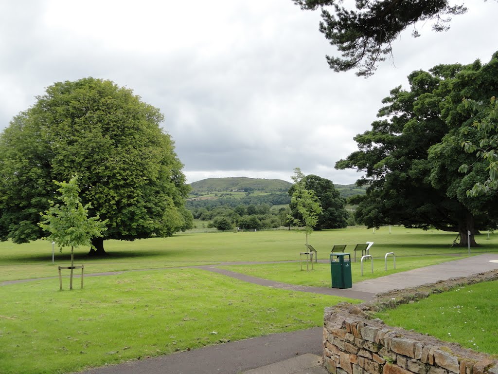
Photos of Ballymurphy


Ballymurphy Weather

Forecast: Overcast clouds
Temperature: 12.1°
Humidity: 92%
Current time: 10:37 PM
Sunrise: 06:46 AM
Sunset: 06:27 PM
Blacklion, Ireland
Latitude: 54.2921 // Longitude: -7.87513
Photos of Blacklion


Blacklion Weather

Forecast: Heavy intensity rain
Temperature: 10.0°
Humidity: 91%
Sun info not available


