
Distance between  Ballymurphy and
  Allihies
149.67 mi Straight Distance
192.65 mi Driving Distance
4 hours 29 mins Estimated Driving Time
The straight distance between Ballymurphy (Carlow) and Allihies (Cork) is 149.67 mi, but the driving distance is 192.65 mi.
It takes 4 hours 29 mins to go from Ballymurphy to Allihies.
Driving directions from Ballymurphy to Allihies
Distance in kilometers
Straight distance: 240.82 km. Route distance: 309.97 km
Ballymurphy, Ireland
Latitude: 52.5722 // Longitude: -6.86149
Photos of Ballymurphy


Ballymurphy Weather

Forecast: Moderate rain
Temperature: 11.0°
Humidity: 93%
Current time: 09:37 PM
Sunrise: 06:51 AM
Sunset: 06:24 PM
Allihies, Ireland
Latitude: 51.6473 // Longitude: -10.0515
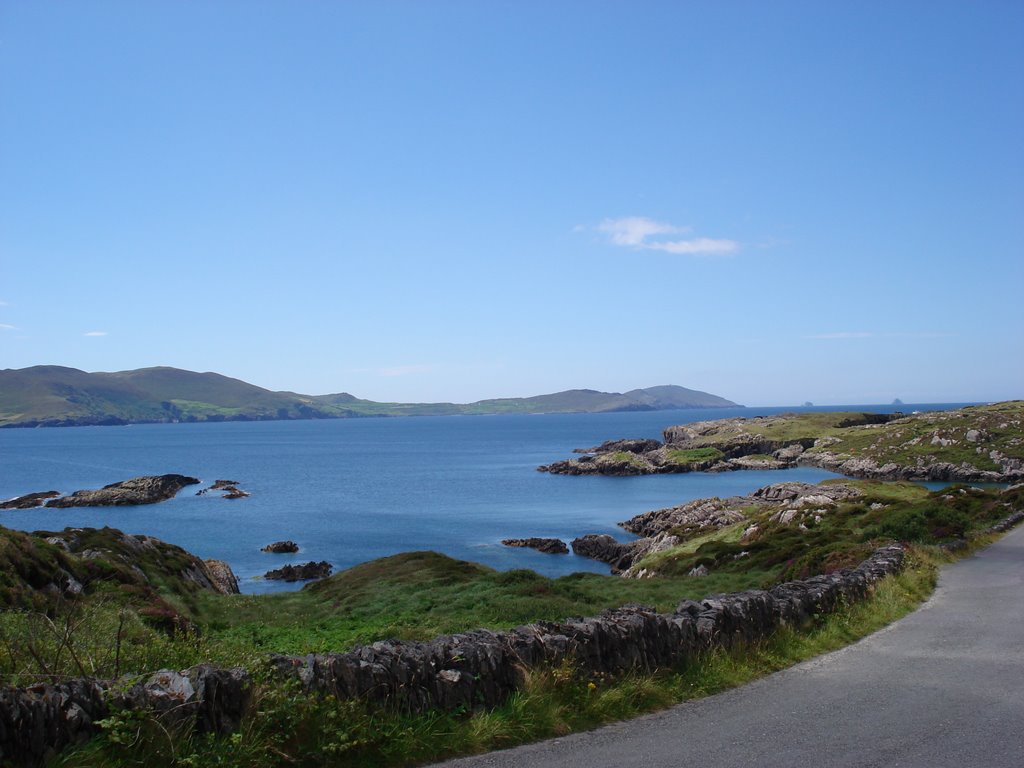
Photos of Allihies
")


")

Allihies Weather

Forecast: Overcast clouds
Temperature: 10.6°
Humidity: 96%
Sun info not available


