
Distance between  Ballymahon and
  Pontoon
65.63 mi Straight Distance
74.97 mi Driving Distance
1 hour 49 mins Estimated Driving Time
The straight distance between Ballymahon (Longford) and Pontoon (Mayo) is 65.63 mi, but the driving distance is 74.97 mi.
It takes 1 hour 49 mins to go from Ballymahon to Pontoon.
Driving directions from Ballymahon to Pontoon
Distance in kilometers
Straight distance: 105.59 km. Route distance: 120.62 km
Ballymahon, Ireland
Latitude: 53.5644 // Longitude: -7.7646
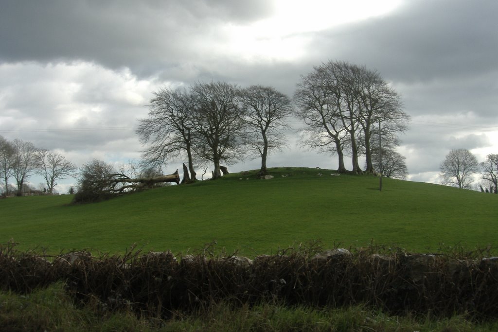
Photos of Ballymahon


Ballymahon Weather

Forecast: Clear sky
Temperature: 18.0°
Humidity: 40%
Current time: 01:44 PM
Sunrise: 06:57 AM
Sunset: 06:25 PM
Pontoon, Ireland
Latitude: 53.9767 // Longitude: -9.21246
Photos of Pontoon


Pontoon Weather
Forecast: Clear sky
Temperature: 18.0°
Humidity: 40%
Sun info not available


