
Distance between  Ballymacward and
  Kealkill
118.92 mi Straight Distance
169.37 mi Driving Distance
3 hours 46 mins Estimated Driving Time
The straight distance between Ballymacward (Galway) and Kealkill (Cork) is 118.92 mi, but the driving distance is 169.37 mi.
It takes to go from Ballymacward to Kealkill.
Driving directions from Ballymacward to Kealkill
Distance in kilometers
Straight distance: 191.34 km. Route distance: 272.51 km
Ballymacward, Ireland
Latitude: 53.3833 // Longitude: -8.48333
Photos of Ballymacward


Ballymacward Weather

Forecast: Clear sky
Temperature: 18.0°
Humidity: 40%
Current time: 12:00 AM
Sunrise: 07:10 AM
Sunset: 06:20 PM
Kealkill, Ireland
Latitude: 51.7508 // Longitude: -9.38028
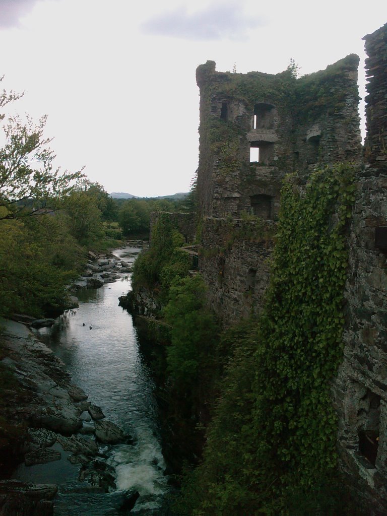
Photos of Kealkill


")

Kealkill Weather
Forecast: Clear sky
Temperature: 18.0°
Humidity: 40%
Current time: 12:00 AM
Sunrise: 07:12 AM
Sunset: 06:25 PM


