
Distance between  Ballylanders and
  Ballinascarty
52.85 mi Straight Distance
67.49 mi Driving Distance
1 hour 29 mins Estimated Driving Time
The straight distance between Ballylanders (Limerick) and Ballinascarty (Cork) is 52.85 mi, but the driving distance is 67.49 mi.
It takes 1 hour 29 mins to go from Ballylanders to Ballinascarty.
Driving directions from Ballylanders to Ballinascarty
Distance in kilometers
Straight distance: 85.04 km. Route distance: 108.59 km
Ballylanders, Ireland
Latitude: 52.3711 // Longitude: -8.346
Photos of Ballylanders


")

Ballylanders Weather

Forecast: Light rain
Temperature: 2.5°
Humidity: 79%
Sun info not available
Ballinascarty, Ireland
Latitude: 51.6742 // Longitude: -8.85861
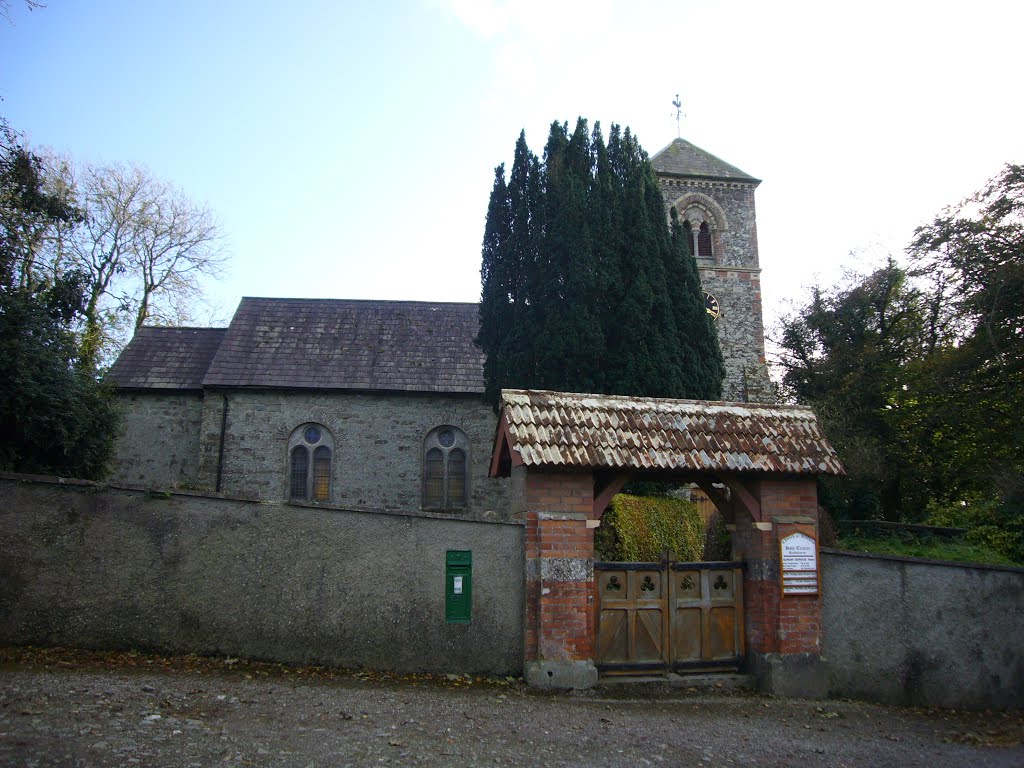
Photos of Ballinascarty


Ballinascarty Weather

Forecast: Few clouds
Temperature: 3.3°
Humidity: 77%
Current time: 04:49 AM
Sunrise: 06:51 AM
Sunset: 06:37 PM


