
Distance between  Ballyhide and
  Newcastle
41.42 mi Straight Distance
75.57 mi Driving Distance
1 hour 32 mins Estimated Driving Time
The straight distance between Ballyhide (Laois) and Newcastle (Wicklow) is 41.42 mi, but the driving distance is 75.57 mi.
It takes 1 hour 32 mins to go from Ballyhide to Newcastle.
Driving directions from Ballyhide to Newcastle
Distance in kilometers
Straight distance: 66.64 km. Route distance: 121.59 km
Ballyhide, Ireland
Latitude: 52.8216 // Longitude: -6.96838
Photos of Ballyhide


Ballyhide Weather

Forecast: Few clouds
Temperature: 10.6°
Humidity: 65%
Current time: 10:36 PM
Sunrise: 06:49 AM
Sunset: 06:26 PM
Newcastle, Ireland
Latitude: 53.0711 // Longitude: -6.06384
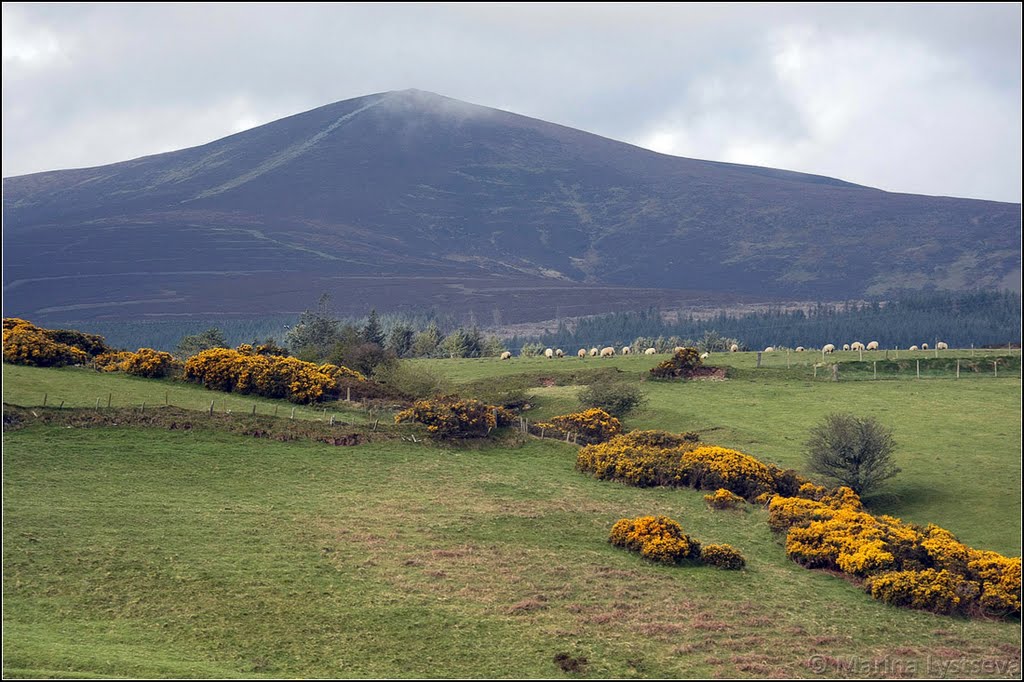
Photos of Newcastle


Newcastle Weather
Forecast: Few clouds
Temperature: 10.4°
Humidity: 66%
Current time: 10:36 PM
Sunrise: 06:46 AM
Sunset: 06:22 PM


