
Distance between  Ballyhide and
  Doon
Doon
49.41 mi Straight Distance
60.03 mi Driving Distance
1 hour 37 mins Estimated Driving Time
The straight distance between Ballyhide (Laois) and Doon (Offaly) is 49.41 mi, but the driving distance is 60.03 mi.
It takes to go from Ballyhide to Doon.
Driving directions from Ballyhide to Doon
Distance in kilometers
Straight distance: 79.50 km. Route distance: 96.59 km
Ballyhide, Ireland
Latitude: 52.8216 // Longitude: -6.96838
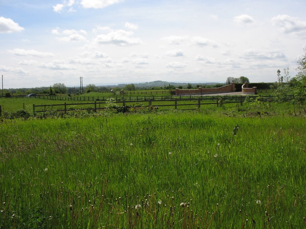
Photos of Ballyhide


Ballyhide Weather

Predicción: Moderate rain
Temperatura: 3.4°
Humedad: 97%
Hora actual: 06:58 PM
Amanece: 07:44 AM
Anochece: 05:39 PM
Doon, Ireland
Latitude: 53.3333 // Longitude: -7.8
Photos of Doon


Doon Weather
Predicción: Light rain
Temperatura: 2.1°
Humedad: 96%
Hora actual: 01:00 AM
Amanece: 07:49 AM
Anochece: 05:41 PM


