
Distance between  Ballycotton and
  Bellanode
173.55 mi Straight Distance
258.82 mi Driving Distance
4 hours 54 mins Estimated Driving Time
The straight distance between Ballycotton (Cork) and Bellanode (Monaghan) is 173.55 mi, but the driving distance is 258.82 mi.
It takes 4 hours 19 mins to go from Ballycotton to Bellanode.
Driving directions from Ballycotton to Bellanode
Distance in kilometers
Straight distance: 279.24 km. Route distance: 416.45 km
Ballycotton, Ireland
Latitude: 51.824 // Longitude: -8.009
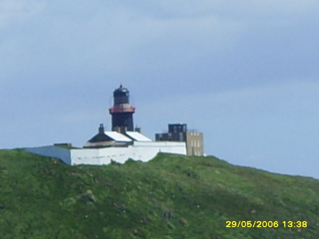
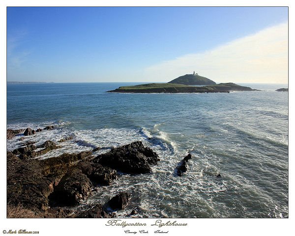
Photos of Ballycotton


Ballycotton Weather

Forecast: Clear sky
Temperature: 3.2°
Humidity: 81%
Current time: 08:21 AM
Sunrise: 06:48 AM
Sunset: 06:34 PM
Bellanode, Ireland
Latitude: 54.2669 // Longitude: -7.03644
Photos of Bellanode


Bellanode Weather

Forecast: Overcast clouds
Temperature: 2.4°
Humidity: 89%
Current time: 08:21 AM
Sunrise: 06:45 AM
Sunset: 06:29 PM


