
Distance between  Ballycarney and
  Tralee
133.54 mi Straight Distance
178.87 mi Driving Distance
3 hours 48 mins Estimated Driving Time
The straight distance between Ballycarney (Wexford) and Tralee (Kerry) is 133.54 mi, but the driving distance is 178.87 mi.
It takes 3 hours 48 mins to go from Ballycarney to Tralee.
Driving directions from Ballycarney to Tralee
Distance in kilometers
Straight distance: 214.87 km. Route distance: 287.80 km
Ballycarney, Ireland
Latitude: 52.5827 // Longitude: -6.57135
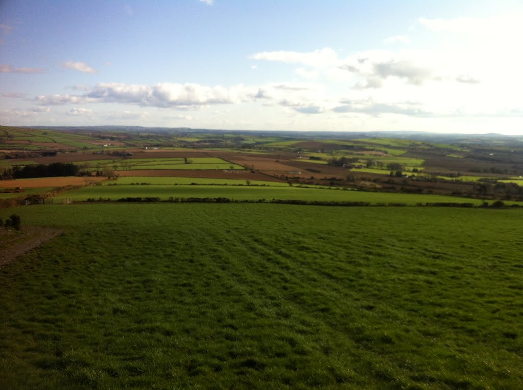
Photos of Ballycarney


Ballycarney Weather

Forecast: Clear sky
Temperature: 18.0°
Humidity: 40%
Current time: 04:30 PM
Sunrise: 06:59 AM
Sunset: 06:15 PM
Tralee, Ireland
Latitude: 52.2713 // Longitude: -9.69993
Photos of Tralee


, agosto 1996")


Tralee Weather
Forecast: Clear sky
Temperature: 18.0°
Humidity: 40%
Current time: 04:30 PM
Sunrise: 07:11 AM
Sunset: 06:28 PM


