
Distance between  Ballycarney and
  Castlelyons
78.04 mi Straight Distance
96.67 mi Driving Distance
2 hours 11 mins Estimated Driving Time
The straight distance between Ballycarney (Wexford) and Castlelyons (Cork) is 78.04 mi, but the driving distance is 96.67 mi.
It takes to go from Ballycarney to Castlelyons.
Driving directions from Ballycarney to Castlelyons
Distance in kilometers
Straight distance: 125.57 km. Route distance: 155.55 km
Ballycarney, Ireland
Latitude: 52.5827 // Longitude: -6.57135
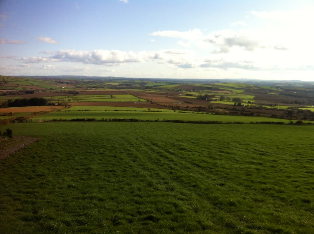
Photos of Ballycarney


Ballycarney Weather

Forecast: Moderate rain
Temperature: 6.5°
Humidity: 96%
Current time: 12:24 PM
Sunrise: 07:34 AM
Sunset: 05:46 PM
Castlelyons, Ireland
Latitude: 52.0892 // Longitude: -8.23417
Photos of Castlelyons


Castlelyons Weather
Forecast: Light rain
Temperature: 6.8°
Humidity: 90%
Current time: 12:24 PM
Sunrise: 07:39 AM
Sunset: 05:53 PM


