
Distance between  Ballitore and
  Ballinascarty
126.27 mi Straight Distance
155.82 mi Driving Distance
3 hours 5 mins Estimated Driving Time
The straight distance between Ballitore (Kildare) and Ballinascarty (Cork) is 126.27 mi, but the driving distance is 155.82 mi.
It takes 3 hours 5 mins to go from Ballitore to Ballinascarty.
Driving directions from Ballitore to Ballinascarty
Distance in kilometers
Straight distance: 203.17 km. Route distance: 250.71 km
Ballitore, Ireland
Latitude: 53.0074 // Longitude: -6.81239
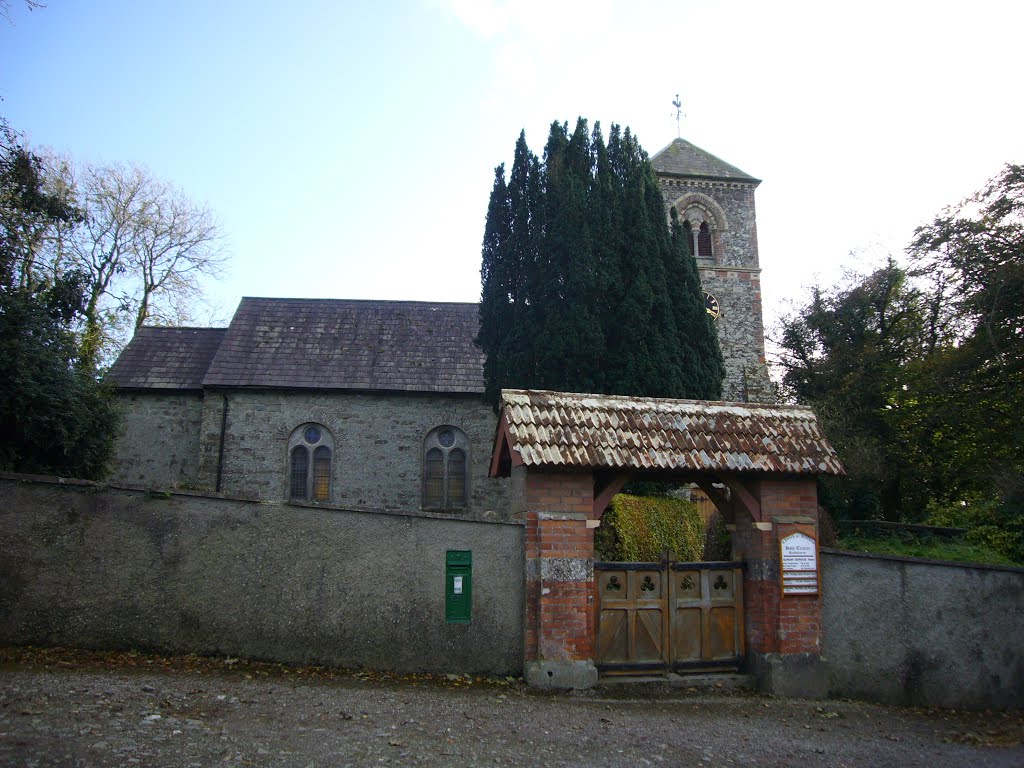
Photos of Ballitore


Ballitore Weather

Forecast: Broken clouds
Temperature: 1.5°
Humidity: 88%
Current time: 08:40 AM
Sunrise: 06:44 AM
Sunset: 06:29 PM
Ballinascarty, Ireland
Latitude: 51.6742 // Longitude: -8.85861
Photos of Ballinascarty


Ballinascarty Weather

Forecast: Few clouds
Temperature: 3.3°
Humidity: 77%
Current time: 08:40 AM
Sunrise: 06:51 AM
Sunset: 06:37 PM


