
Distance between  Baile na nGall and
  Doonbeg
51.93 mi Straight Distance
85.09 mi Driving Distance
2 hours 29 mins Estimated Driving Time
The straight distance between Baile na nGall () and Doonbeg (Clare) is 51.93 mi, but the driving distance is 85.09 mi.
It takes 2 hours 29 mins to go from Baile na nGall to Doonbeg.
Driving directions from Baile na nGall to Doonbeg
Distance in kilometers
Straight distance: 83.56 km. Route distance: 136.92 km
Baile na nGall, Ireland
Latitude: 52.1908 // Longitude: -10.3839
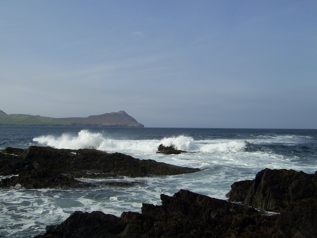
Photos of Baile na nGall
![[Irlanda 1989]](/photos/5761421.jpg "[Irlanda 1989]")


Baile na nGall Weather

Forecast: Broken clouds
Temperature: 9.1°
Humidity: 88%
Sun info not available
Doonbeg, Ireland
Latitude: 52.7309 // Longitude: -9.526
Photos of Doonbeg


Doonbeg Weather

Forecast: Clear sky
Temperature: 18.0°
Humidity: 40%
Sun info not available


