
Distance between  Athleague and
  Killurin
37.67 mi Straight Distance
51.33 mi Driving Distance
1 hour 8 mins Estimated Driving Time
The straight distance between Athleague (Roscommon) and Killurin (Offaly) is 37.67 mi, but the driving distance is 51.33 mi.
It takes 1 hour 8 mins to go from Athleague to Killurin.
Driving directions from Athleague to Killurin
Distance in kilometers
Straight distance: 60.62 km. Route distance: 82.59 km
Athleague, Ireland
Latitude: 53.5661 // Longitude: -8.2537
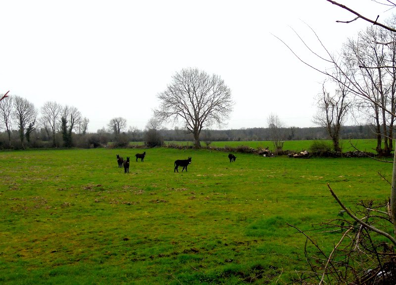
Photos of Athleague


Athleague Weather

Forecast: Clear sky
Temperature: 18.0°
Humidity: 40%
Current time: 03:01 PM
Sunrise: 07:06 AM
Sunset: 06:21 PM
Killurin, Ireland
Latitude: 53.2173 // Longitude: -7.55091
Photos of Killurin


Killurin Weather
Forecast: Clear sky
Temperature: 18.0°
Humidity: 40%
Sun info not available


