
Distance between  Allihies and
  Farranfore
42.07 mi Straight Distance
61.65 mi Driving Distance
1 hour 45 mins Estimated Driving Time
The straight distance between Allihies (Cork) and Farranfore (Kerry) is 42.07 mi, but the driving distance is 61.65 mi.
It takes to go from Allihies to Farranfore.
Driving directions from Allihies to Farranfore
Distance in kilometers
Straight distance: 67.70 km. Route distance: 99.20 km
Allihies, Ireland
Latitude: 51.6473 // Longitude: -10.0515
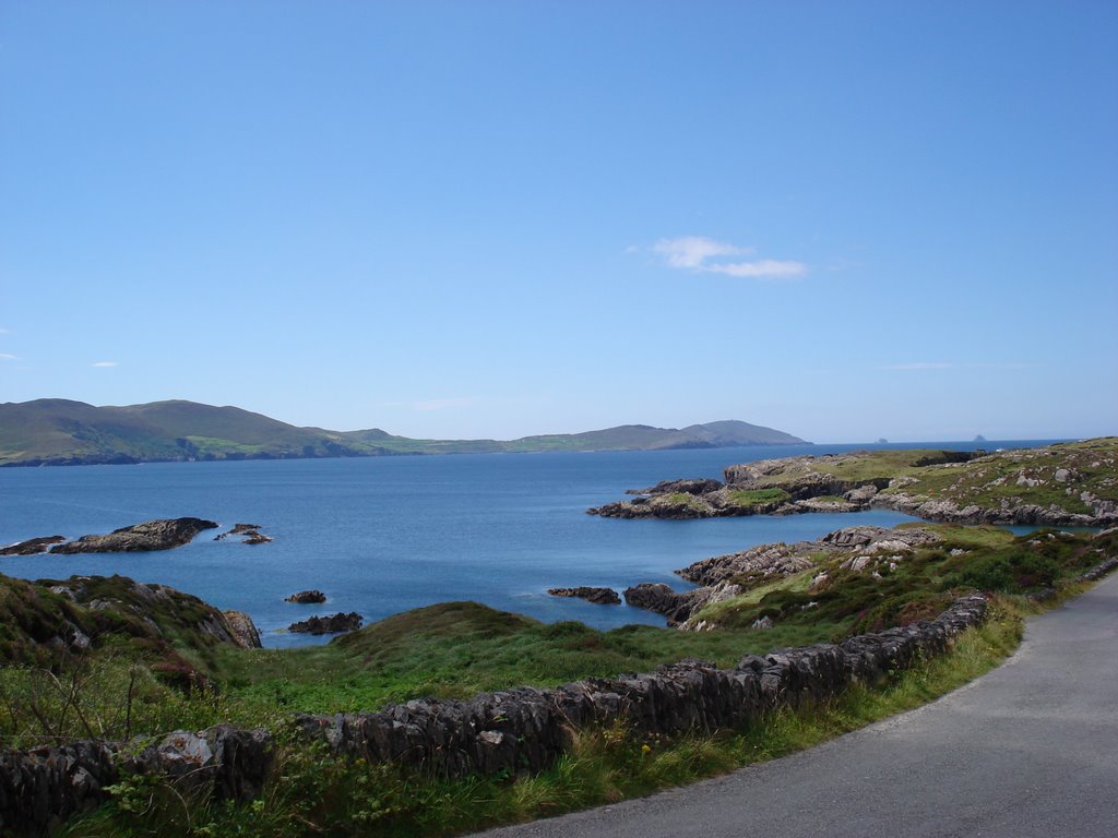
Photos of Allihies
")


")

Allihies Weather

Forecast: Overcast clouds
Temperature: 10.3°
Humidity: 97%
Current time: 12:00 AM
Sunrise: 07:29 AM
Sunset: 06:16 PM
Farranfore, Ireland
Latitude: 52.172 // Longitude: -9.55051
Photos of Farranfore


Farranfore Weather

Forecast: Light rain
Temperature: 9.9°
Humidity: 87%
Current time: 12:52 PM
Sunrise: 07:28 AM
Sunset: 06:13 PM


