
Distance between  Allihies and
  Errill
130.53 mi Straight Distance
174.81 mi Driving Distance
3 hours 55 mins Estimated Driving Time
The straight distance between Allihies (Cork) and Errill (Laois) is 130.53 mi, but the driving distance is 174.81 mi.
It takes to go from Allihies to Errill.
Driving directions from Allihies to Errill
Distance in kilometers
Straight distance: 210.02 km. Route distance: 281.27 km
Allihies, Ireland
Latitude: 51.6473 // Longitude: -10.0515
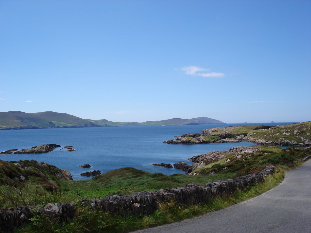
Photos of Allihies
")


")

Allihies Weather

Forecast: Light rain
Temperature: 8.5°
Humidity: 89%
Current time: 12:00 AM
Sunrise: 07:46 AM
Sunset: 06:01 PM
Errill, Ireland
Latitude: 52.856 // Longitude: -7.6795
Photos of Errill


Errill Weather
Forecast: Light rain
Temperature: 7.2°
Humidity: 95%
Current time: 12:00 AM
Sunrise: 07:39 AM
Sunset: 05:49 PM


