
Distance between  Affane and
  Loughrea
80.42 mi Straight Distance
110.78 mi Driving Distance
2 hours 48 mins Estimated Driving Time
The straight distance between Affane (Waterford) and Loughrea (Galway) is 80.42 mi, but the driving distance is 110.78 mi.
It takes 2 hours 48 mins to go from Affane to Loughrea.
Driving directions from Affane to Loughrea
Distance in kilometers
Straight distance: 129.40 km. Route distance: 178.24 km
Affane, Ireland
Latitude: 52.1226 // Longitude: -7.83551
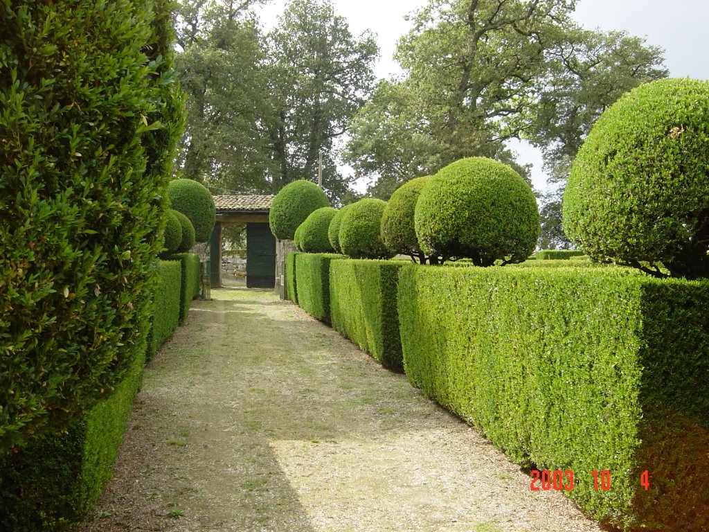
Photos of Affane


Affane Weather

Forecast: Overcast clouds
Temperature: 11.6°
Humidity: 95%
Current time: 05:34 PM
Sunrise: 06:50 AM
Sunset: 06:31 PM
Loughrea, Ireland
Latitude: 53.1989 // Longitude: -8.56609
Photos of Loughrea


Loughrea Weather

Forecast: Moderate rain
Temperature: 10.9°
Humidity: 83%
Current time: 05:34 PM
Sunrise: 06:53 AM
Sunset: 06:34 PM


