Distance between  Abbeyshrule and
 Abbeylara
24.54 km Straight Distance
32.68 km Driving Distance
25 minutes Estimated Driving Time
The straight distance between Abbeyshrule (Longford) and Abbeylara (Longford) is 24.54 km, but the driving distance is 32.68 km.
It takes 25 minutes to go from Abbeyshrule to Abbeylara.
Driving directions from Abbeyshrule to Abbeylara
Distance in miles
Straight distance: 15.25 mi. Driving distance: 20.30 mi.
How this distance is calculated
The straight-line distance is calculated between the coordinates of the two locations. Driving distance and time follow a route from OpenStreetMap road data. Estimates exclude live traffic, stops and ferry waiting times; road access and conditions may change. The catalogue covers selected locations and is not a complete list of towns.
Abbeyshrule, Ireland
Latitude: 53.5825 // Longitude: -7.65755
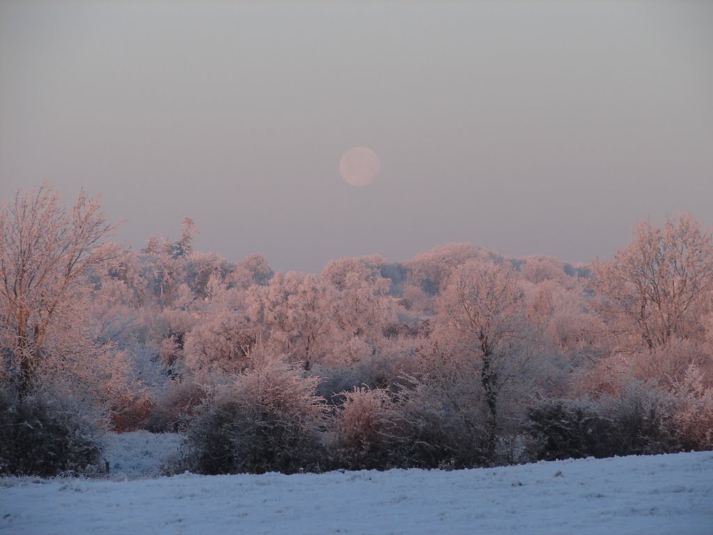
Photos of Abbeyshrule






Abbeyshrule Weather

Forecast: Overcast
Temperature: 7.0°
Humidity: 88%
Sun info not available
Abbeylara, Ireland
Latitude: 53.7653 // Longitude: -7.44887
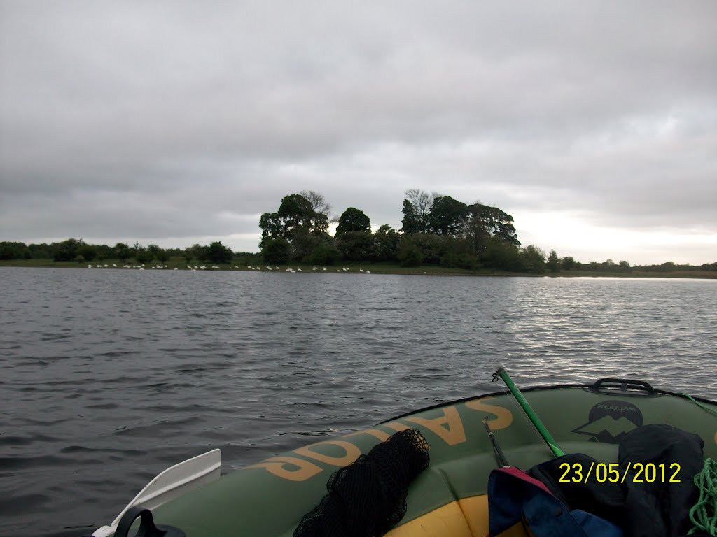
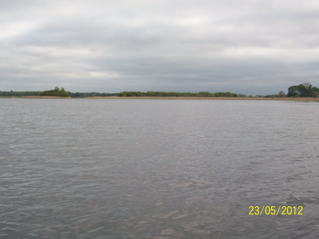
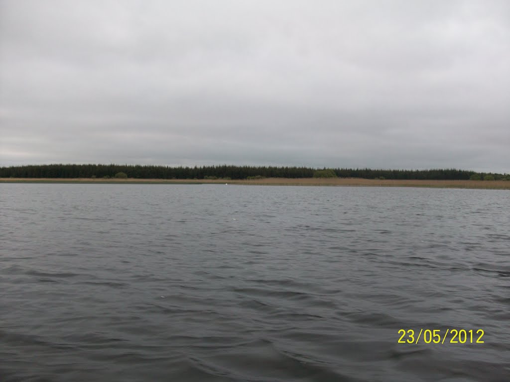
Photos of Abbeylara




Abbeylara Weather
Forecast: Overcast
Temperature: 8.5°
Humidity: 84%
Current time: 03:55 AM
Sunrise: 07:47 AM
Sunset: 04:40 PM