
Distance between  Williamstown and
  Stonetown
19.42 mi Straight Distance
26.16 mi Driving Distance
35 minutes Estimated Driving Time
The straight distance between Williamstown (Galway) and Stonetown (Roscommon) is 19.42 mi, but the driving distance is 26.16 mi.
It takes to go from Williamstown to Stonetown.
Driving directions from Williamstown to Stonetown
Distance in kilometers
Straight distance: 31.25 km. Route distance: 42.09 km
Williamstown, Ireland
Latitude: 53.6777 // Longitude: -8.57996
Photos of Williamstown


Williamstown Weather

Predicción: Broken clouds
Temperatura: 7.1°
Humedad: 95%
Hora actual: 12:00 AM
Amanece: 05:24 AM
Anochece: 07:42 PM
Stonetown, Ireland
Latitude: 53.7025 // Longitude: -8.10708
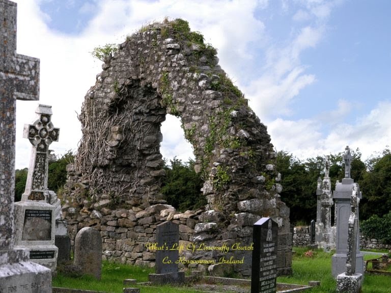
Photos of Stonetown


Stonetown Weather
Predicción: Broken clouds
Temperatura: 7.2°
Humedad: 95%
Hora actual: 12:00 AM
Amanece: 05:22 AM
Anochece: 07:40 PM


