
Distance between  Tulla and
  Stratford-on-Slaney
87.25 mi Straight Distance
111.08 mi Driving Distance
2 hours 9 mins Estimated Driving Time
The straight distance between Tulla (Clare) and Stratford-on-Slaney (Kildare) is 87.25 mi, but the driving distance is 111.08 mi.
It takes to go from Tulla to Stratford-on-Slaney.
Driving directions from Tulla to Stratford-on-Slaney
Distance in kilometers
Straight distance: 140.39 km. Route distance: 178.73 km
Tulla, Ireland
Latitude: 52.8692 // Longitude: -8.76078
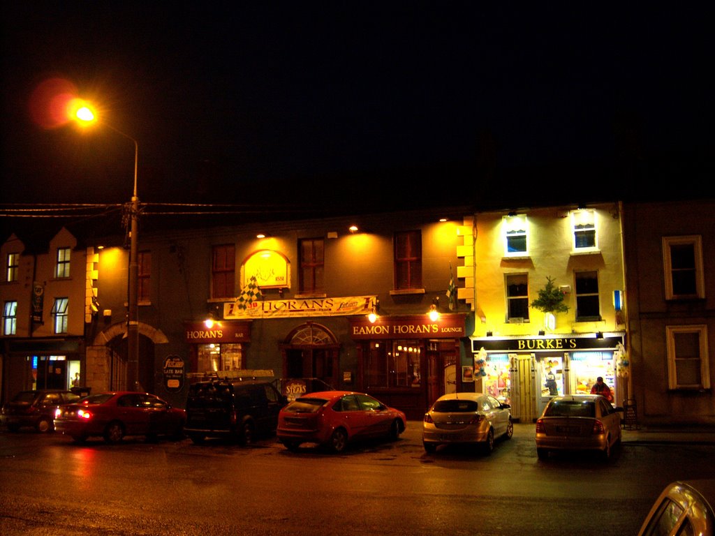
Photos of Tulla


Tulla Weather

Predicción: Overcast clouds
Temperatura: 9.7°
Humedad: 95%
Hora actual: 01:07 AM
Amanece: 06:24 AM
Anochece: 08:42 PM
Stratford-on-Slaney, Ireland
Latitude: 52.9879 // Longitude: -6.67508
Photos of Stratford-on-Slaney


Stratford-on-Slaney Weather
Predicción: Broken clouds
Temperatura: 9.1°
Humedad: 88%
Hora actual: 01:07 AM
Amanece: 06:16 AM
Anochece: 08:34 PM


