
Distance between  Tubberclair and
  Tinryland
62.40 mi Straight Distance
78.41 mi Driving Distance
1 hour 29 mins Estimated Driving Time
The straight distance between Tubberclair (Westmeath) and Tinryland (Carlow) is 62.40 mi, but the driving distance is 78.41 mi.
It takes to go from Tubberclair to Tinryland.
Driving directions from Tubberclair to Tinryland
Distance in kilometers
Straight distance: 100.40 km. Route distance: 126.16 km
Tubberclair, Ireland
Latitude: 53.4923 // Longitude: -7.85659
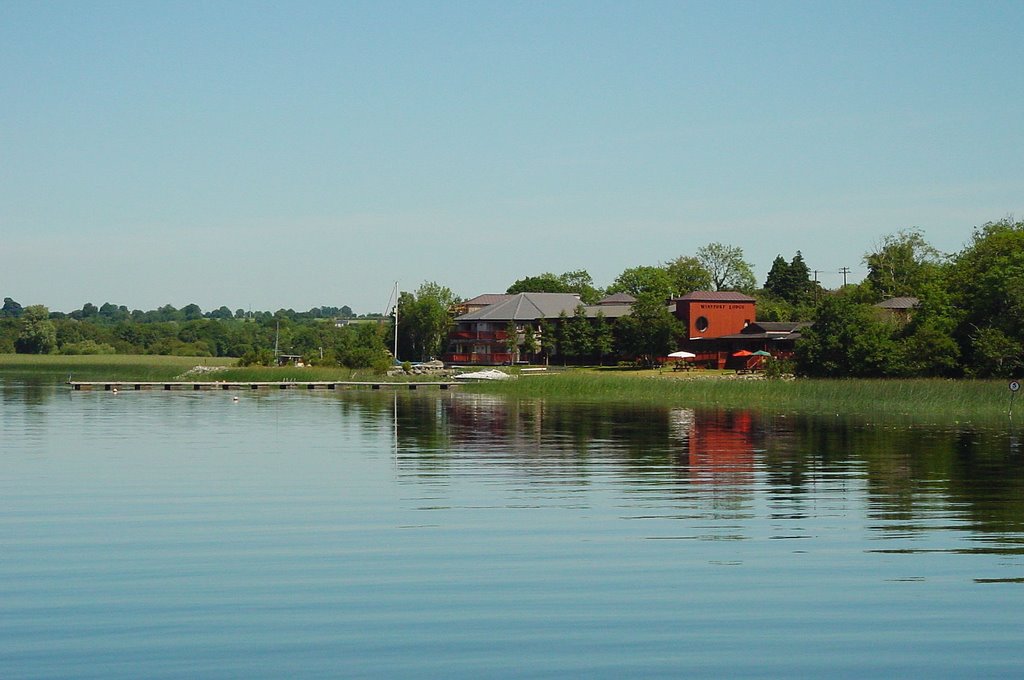
Photos of Tubberclair


Tubberclair Weather

Predicción: Overcast clouds
Temperatura: 9.8°
Humedad: 92%
Hora actual: 12:00 AM
Amanece: 05:19 AM
Anochece: 07:40 PM
Tinryland, Ireland
Latitude: 52.797 // Longitude: -6.89574
Photos of Tinryland


Tinryland Weather
Predicción: Overcast clouds
Temperatura: 9.4°
Humedad: 86%
Hora actual: 01:35 AM
Amanece: 06:17 AM
Anochece: 08:35 PM


