
Distance between  Tang and
  Ballyloughane Strand
53.58 mi Straight Distance
62.87 mi Driving Distance
1 hour 1 min Estimated Driving Time
The straight distance between Tang (Westmeath) and Ballyloughane Strand (Galway) is 53.58 mi, but the driving distance is 62.87 mi.
It takes to go from Tang to Ballyloughane Strand.
Driving directions from Tang to Ballyloughane Strand
Distance in kilometers
Straight distance: 86.20 km. Route distance: 101.16 km
Tang, Ireland
Latitude: 53.5352 // Longitude: -7.79276
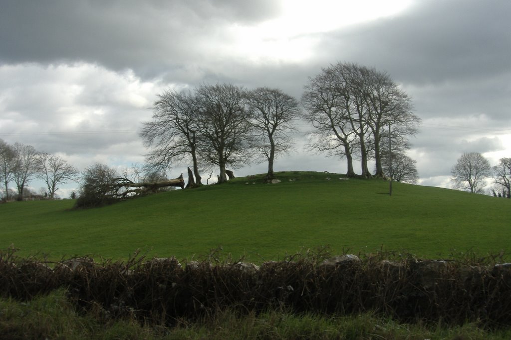
Photos of Tang


Tang Weather

Predicción: Broken clouds
Temperatura: 7.9°
Humedad: 81%
Hora actual: 11:50 AM
Amanece: 06:26 AM
Anochece: 08:35 PM
Ballyloughane Strand, Ireland
Latitude: 53.2744 // Longitude: -9.01768
Photos of Ballyloughane Strand


Ballyloughane Strand Weather
Predicción: Overcast clouds
Temperatura: 9.4°
Humedad: 61%
Hora actual: 11:50 AM
Amanece: 06:31 AM
Anochece: 08:39 PM


