
Distance between  Shanagarry and
  Shammer
144.83 mi Straight Distance
187.57 mi Driving Distance
3 hours 8 mins Estimated Driving Time
The straight distance between Shanagarry (Cork) and Shammer (Mayo) is 144.83 mi, but the driving distance is 187.57 mi.
It takes to go from Shanagarry to Shammer.
Driving directions from Shanagarry to Shammer
Distance in kilometers
Straight distance: 233.03 km. Route distance: 301.79 km
Shanagarry, Ireland
Latitude: 51.8527 // Longitude: -8.02993
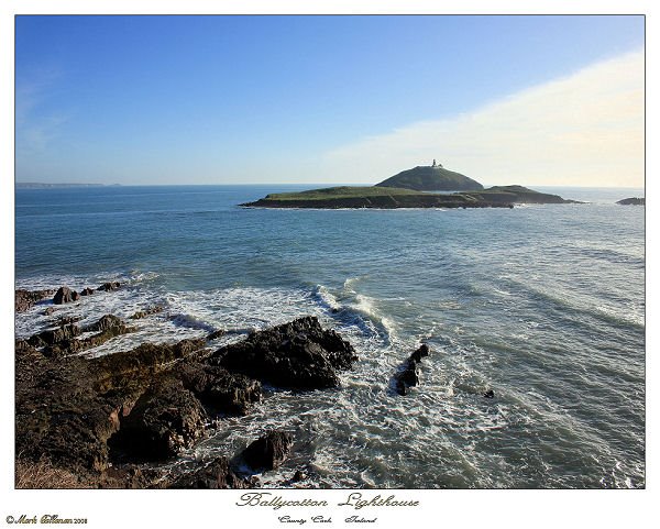
Photos of Shanagarry


Shanagarry Weather

Predicción: Overcast clouds
Temperatura: 9.8°
Humedad: 84%
Hora actual: 02:21 AM
Amanece: 06:24 AM
Anochece: 08:37 PM
Shammer, Ireland
Latitude: 53.8901 // Longitude: -8.84644
Photos of Shammer


Shammer Weather
Predicción: Overcast clouds
Temperatura: 8.4°
Humedad: 97%
Hora actual: 02:21 AM
Amanece: 06:22 AM
Anochece: 08:45 PM


