Distance between  Rockchapel and
  Pettigo
165.29 mi Straight Distance
230.40 mi Driving Distance
4 hours 4 mins Estimated Driving Time
The straight distance between Rockchapel (Cork) and Pettigo (Donegal) is 165.29 mi, but the driving distance is 230.40 mi.
It takes to go from Rockchapel to Pettigo.
Driving directions from Rockchapel to Pettigo
Distance in kilometers
Straight distance: 265.95 km. Route distance: 370.72 km
Rockchapel, Ireland
Latitude: 52.2891 // Longitude: -9.14419
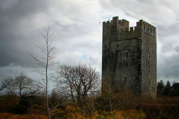
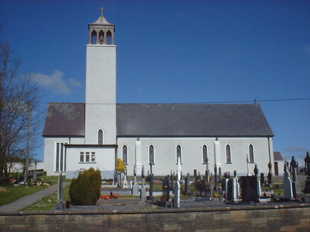
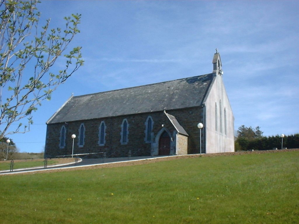
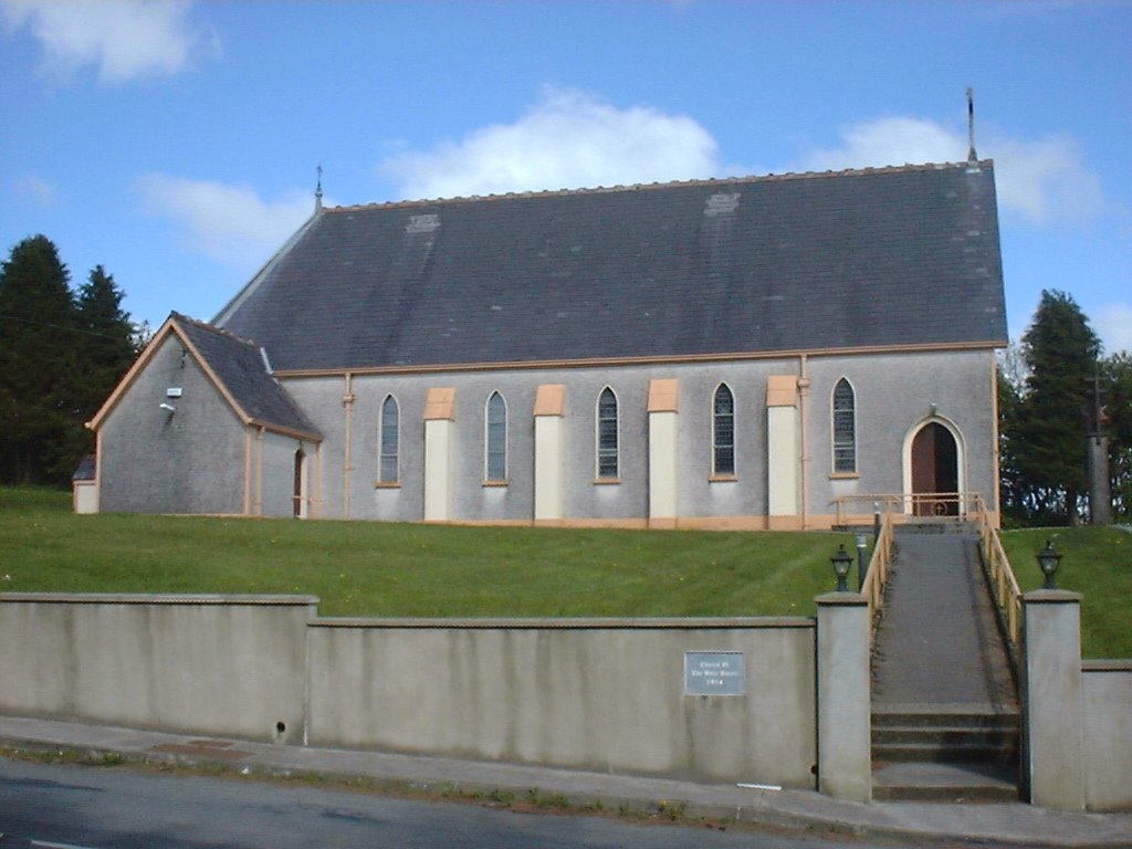
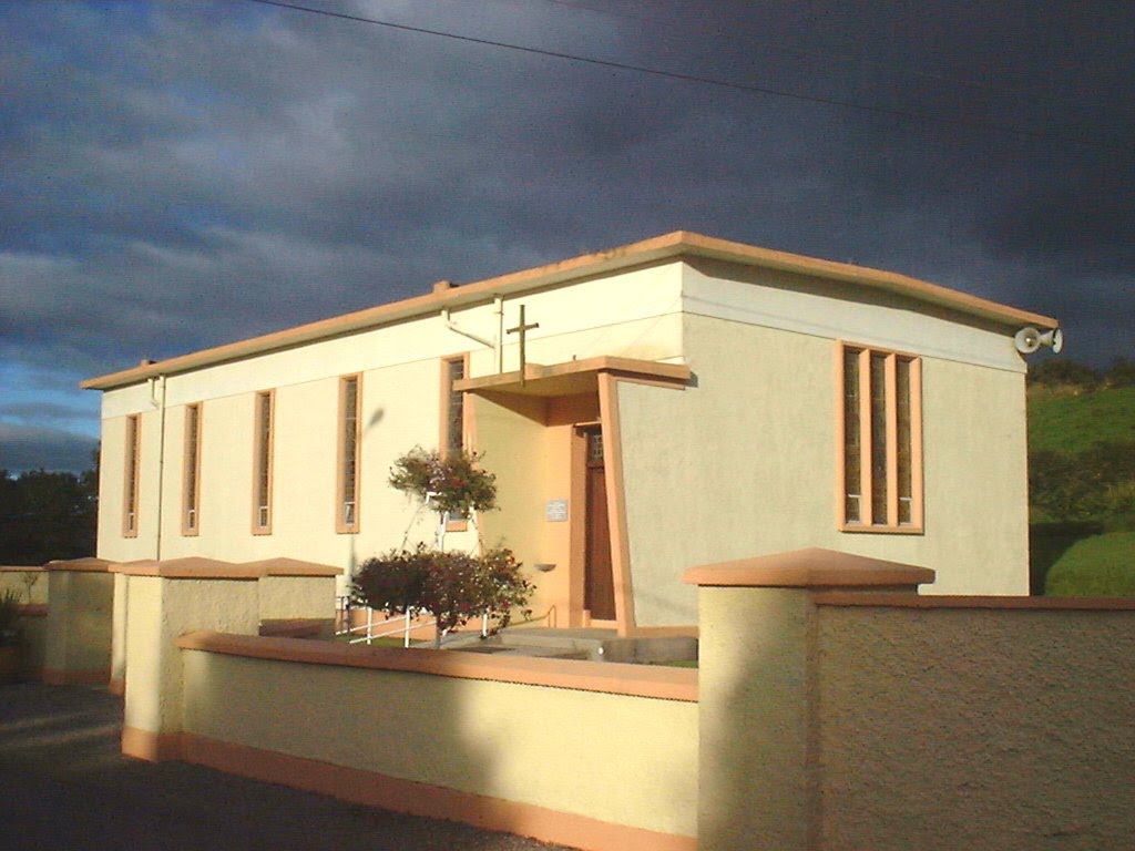
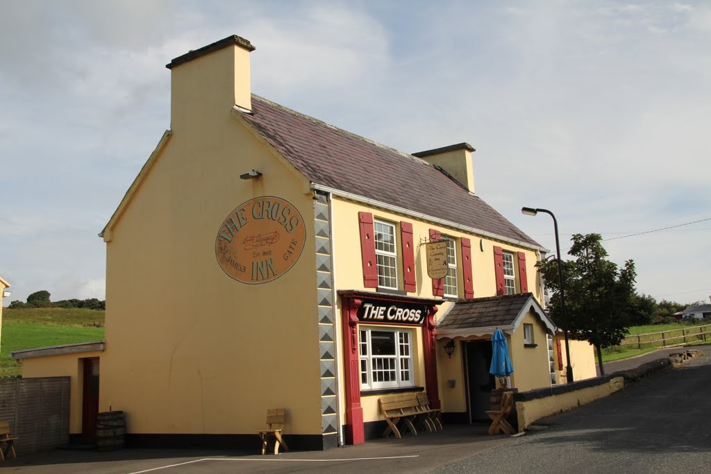
Photos of Rockchapel
Rockchapel Weather

Predicción: Clear sky
Temperatura: 5.4°
Humedad: 90%
Hora actual: 12:00 AM
Amanece: 05:34 AM
Anochece: 07:37 PM
Pettigo, Ireland
Latitude: 54.5502 // Longitude: -7.83258
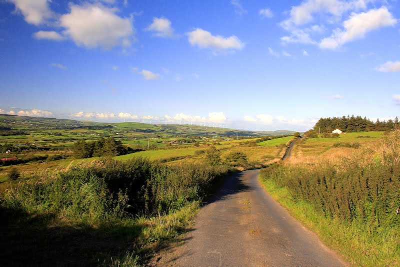
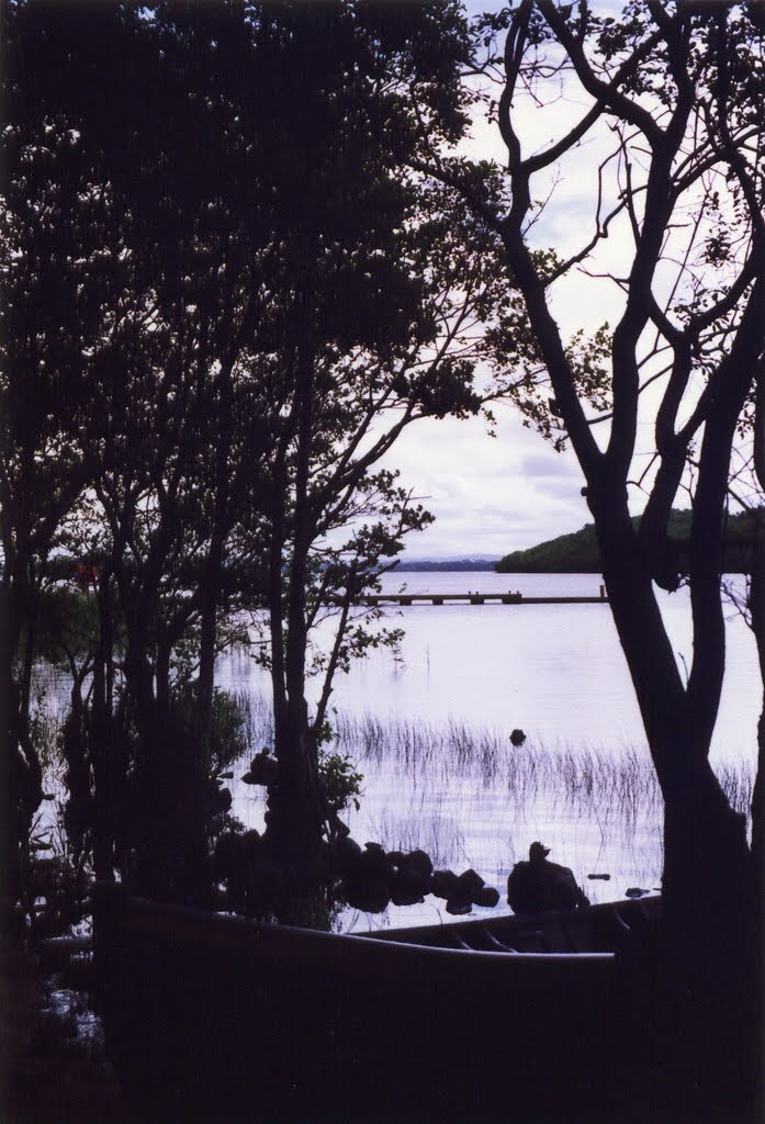
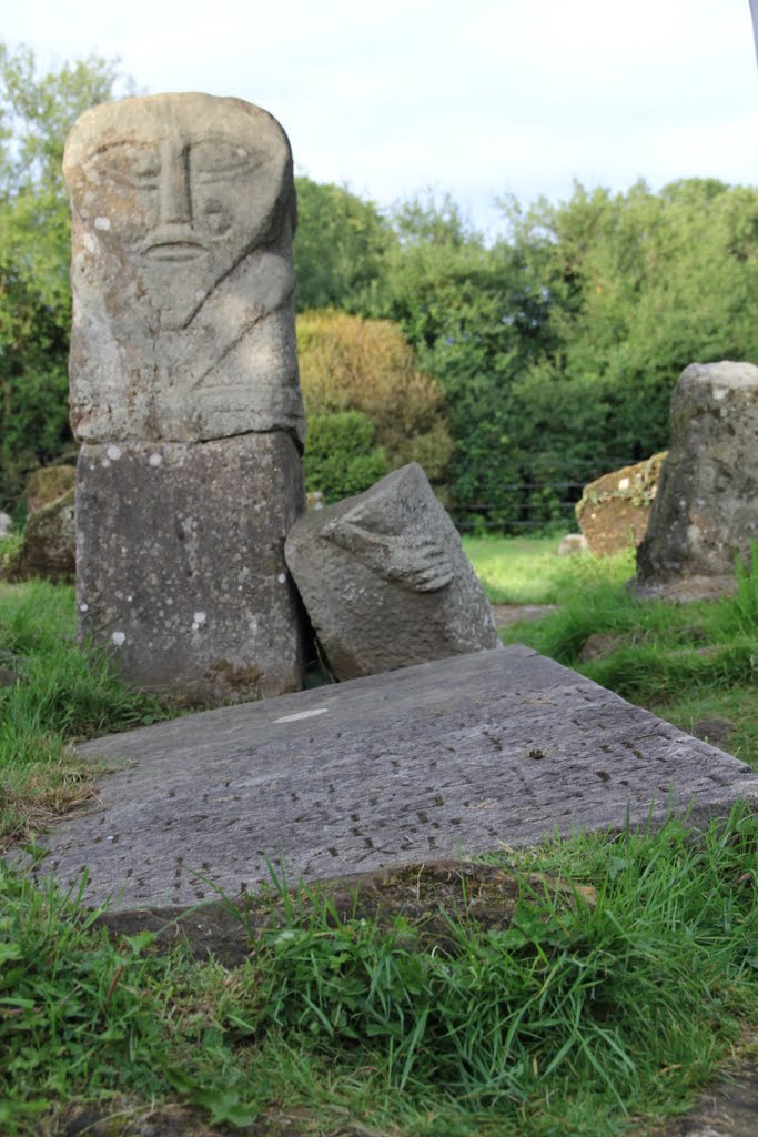
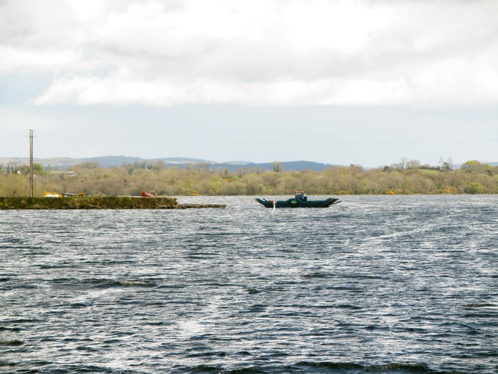
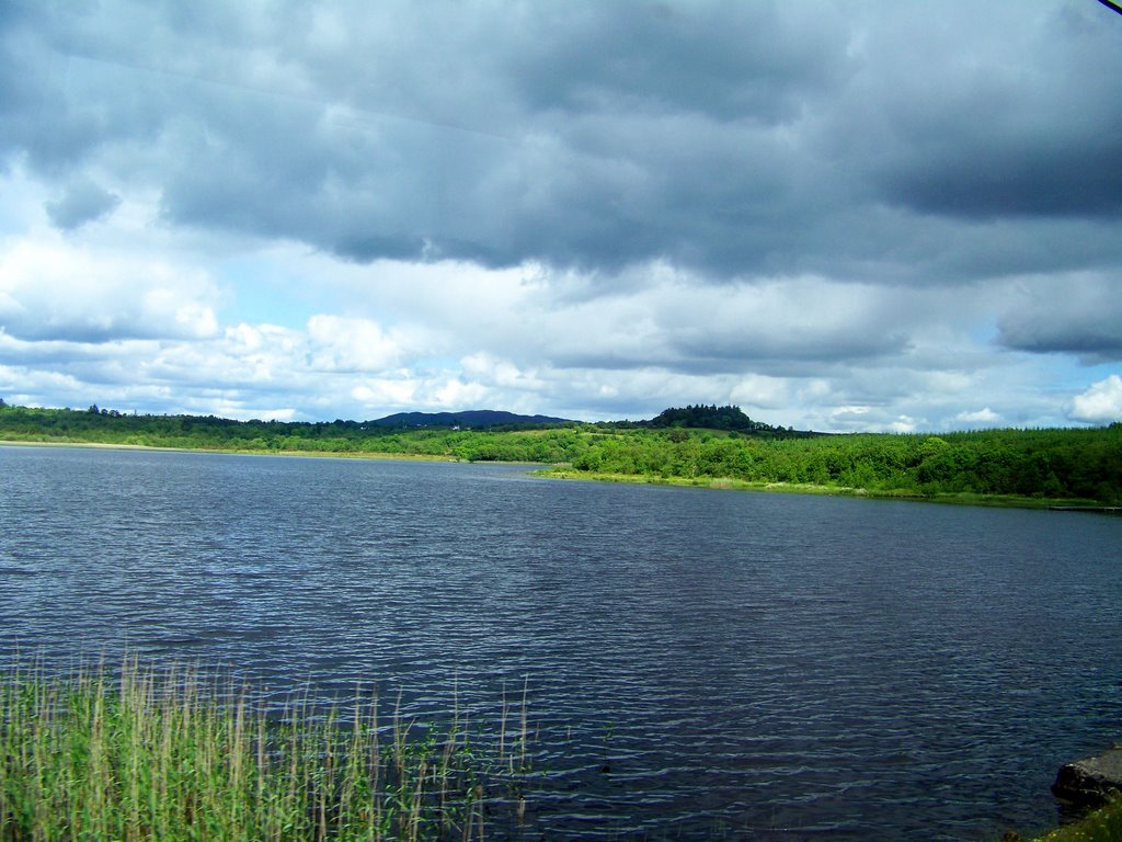
Photos of Pettigo
Pettigo Weather

Predicción: Broken clouds
Temperatura: 5.8°
Humedad: 71%
Hora actual: 12:00 AM
Amanece: 05:23 AM
Anochece: 07:37 PM


