
Distance between  Riverstown and
  Newcastle
120.41 mi Straight Distance
141.53 mi Driving Distance
2 hours 27 mins Estimated Driving Time
The straight distance between Riverstown (Sligo) and Newcastle (Wicklow) is 120.41 mi, but the driving distance is 141.53 mi.
It takes to go from Riverstown to Newcastle.
Driving directions from Riverstown to Newcastle
Distance in kilometers
Straight distance: 193.73 km. Route distance: 227.72 km
Riverstown, Ireland
Latitude: 54.1317 // Longitude: -8.3944
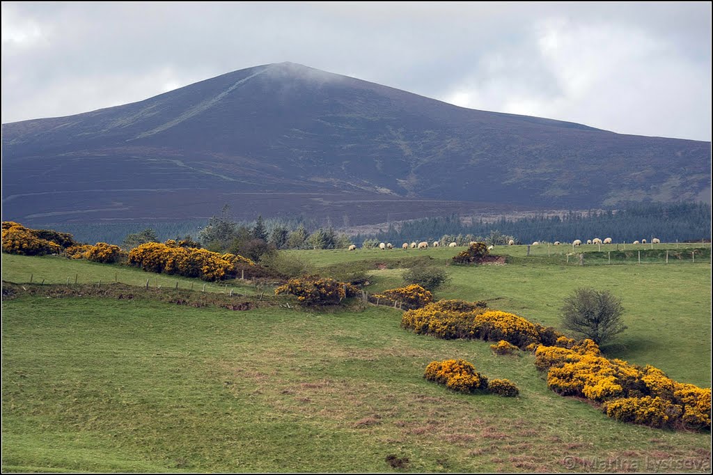
Photos of Riverstown


Riverstown Weather

Predicción: Moderate rain
Temperatura: 6.8°
Humedad: 83%
Hora actual: 12:00 AM
Amanece: 05:27 AM
Anochece: 07:39 PM
Newcastle, Ireland
Latitude: 53.0711 // Longitude: -6.06384
Photos of Newcastle


Newcastle Weather

Predicción: Broken clouds
Temperatura: 7.7°
Humedad: 85%
Hora actual: 10:15 PM
Amanece: 06:20 AM
Anochece: 08:27 PM


