
Distance between  Newtowncashel and
  Moville
116.40 mi Straight Distance
137.45 mi Driving Distance
3 hours 5 mins Estimated Driving Time
The straight distance between Newtowncashel (Longford) and Moville (Donegal) is 116.40 mi, but the driving distance is 137.45 mi.
It takes to go from Newtowncashel to Moville.
Driving directions from Newtowncashel to Moville
Distance in kilometers
Straight distance: 187.28 km. Route distance: 221.16 km
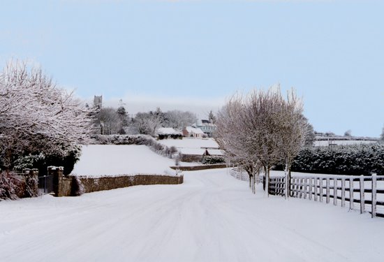
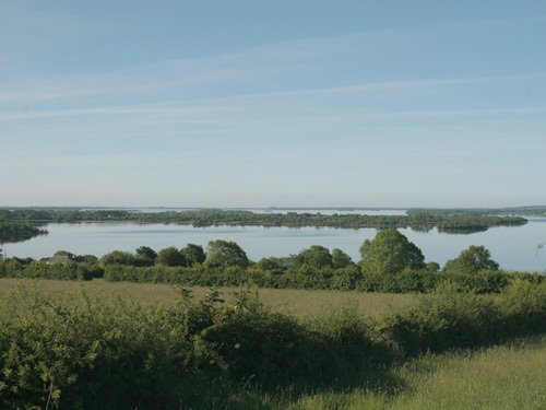
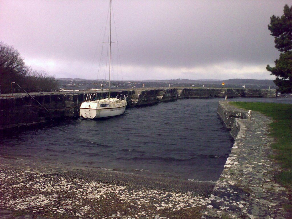
Newtowncashel, Ireland
Latitude: 53.5875 // Longitude: -7.93795
Photos of Newtowncashel


Newtowncashel Weather

Predicción: Overcast clouds
Temperatura: 7.9°
Humedad: 80%
Hora actual: 12:00 AM
Amanece: 05:26 AM
Anochece: 07:36 PM
Moville, Ireland
Latitude: 55.189 // Longitude: -7.04005
Photos of Moville


Moville Weather

Predicción: Scattered clouds
Temperatura: 11.0°
Humedad: 66%
Hora actual: 12:19 PM
Amanece: 06:19 AM
Anochece: 08:36 PM


