
Distance between  Newtowncashel and
  Mountmellick
41.08 mi Straight Distance
59.06 mi Driving Distance
1 hour 5 mins Estimated Driving Time
The straight distance between Newtowncashel (Longford) and Mountmellick (Laois) is 41.08 mi, but the driving distance is 59.06 mi.
It takes 1 hour 18 mins to go from Newtowncashel to Mountmellick.
Driving directions from Newtowncashel to Mountmellick
Distance in kilometers
Straight distance: 66.09 km. Route distance: 95.03 km
Newtowncashel, Ireland
Latitude: 53.5875 // Longitude: -7.93795
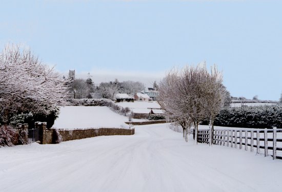
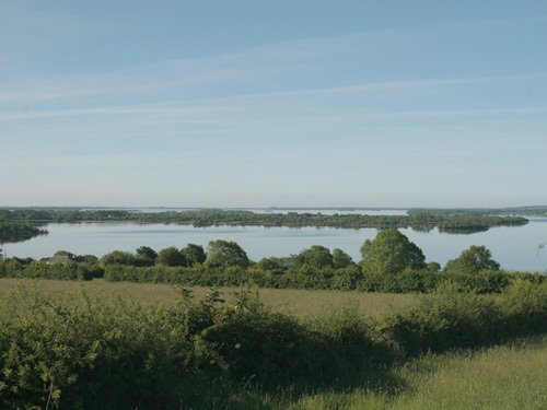
Photos of Newtowncashel


Newtowncashel Weather

Predicción: Broken clouds
Temperatura: 11.2°
Humedad: 81%
Hora actual: 12:00 AM
Amanece: 05:22 AM
Anochece: 07:39 PM
Mountmellick, Ireland
Latitude: 53.1181 // Longitude: -7.32674
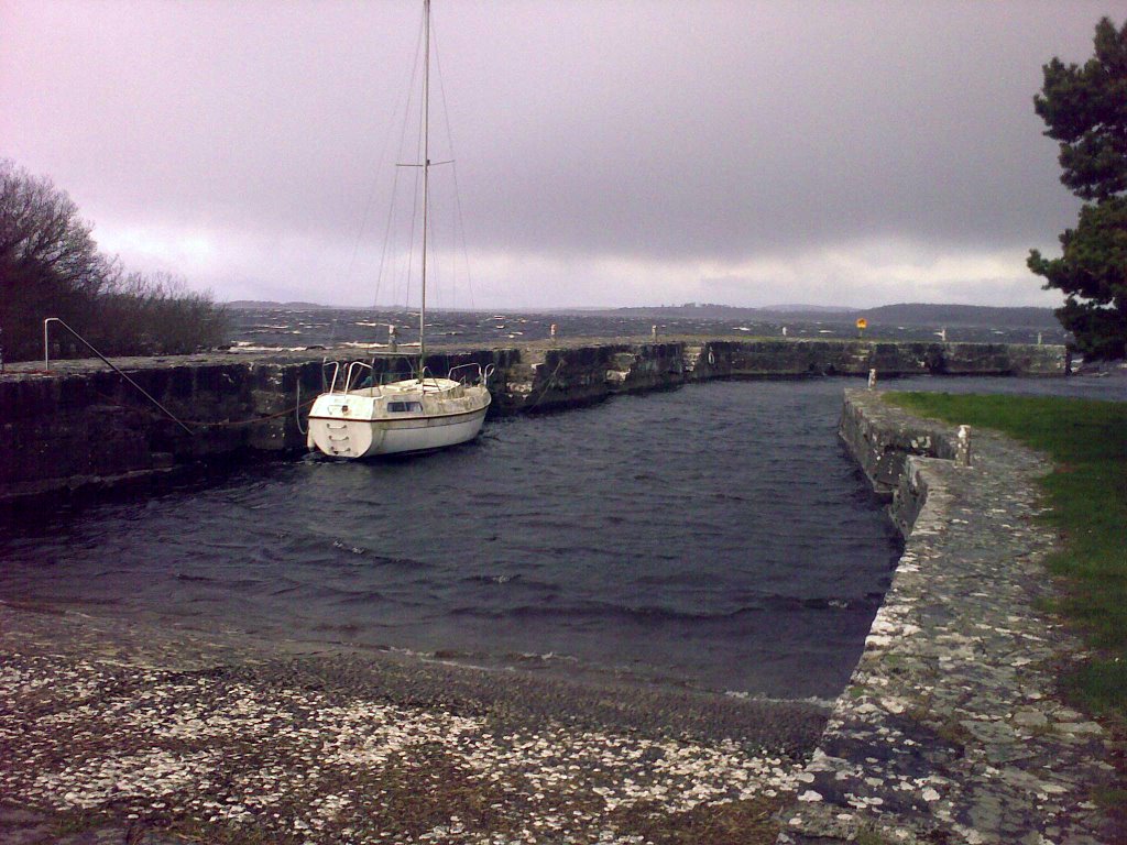
Photos of Mountmellick


Mountmellick Weather
Predicción: Broken clouds
Temperatura: 11.7°
Humedad: 78%
Hora actual: 06:52 PM
Amanece: 06:20 AM
Anochece: 08:36 PM


