Distance between  Myshall and
  Letterfrack
144.37 mi Straight Distance
185.69 mi Driving Distance
3 hours 35 mins Estimated Driving Time
The straight distance between Myshall (Carlow) and Letterfrack (Galway) is 144.37 mi, but the driving distance is 185.69 mi.
It takes to go from Myshall to Letterfrack.
Driving directions from Myshall to Letterfrack
Distance in kilometers
Straight distance: 232.30 km. Route distance: 298.77 km
Myshall, Ireland
Latitude: 52.6859 // Longitude: -6.78041
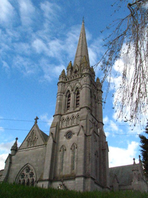
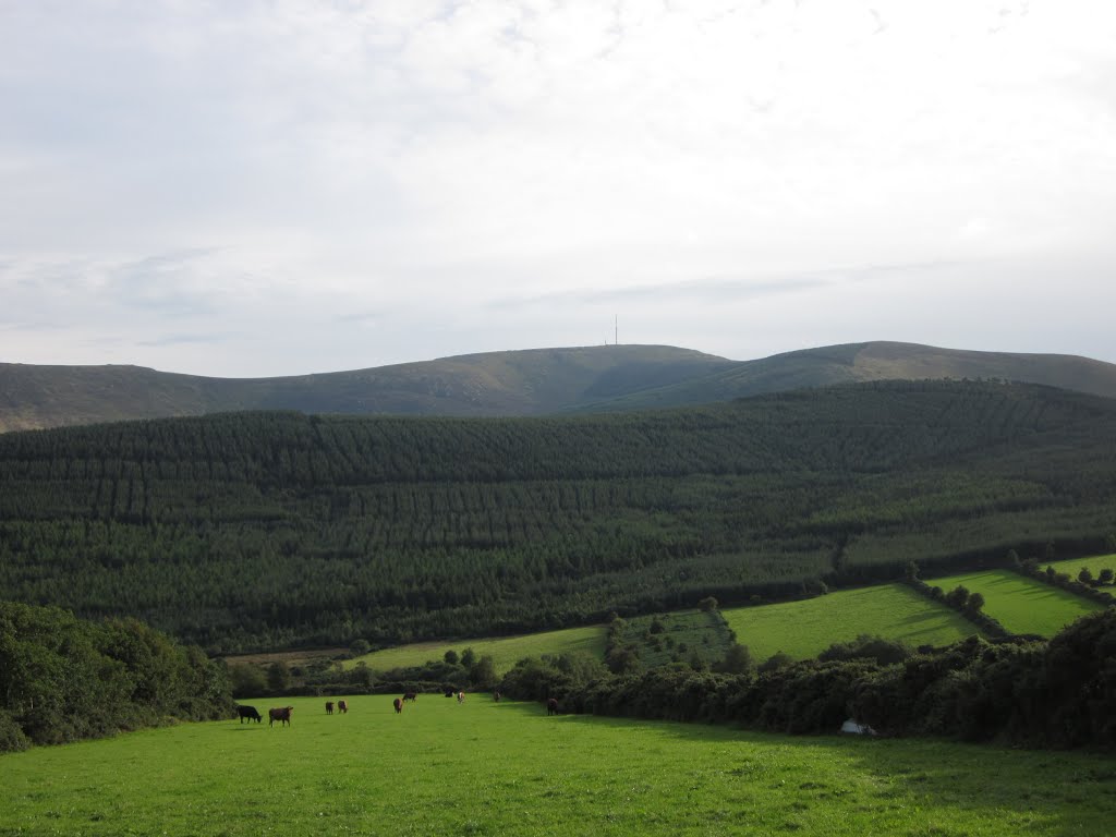
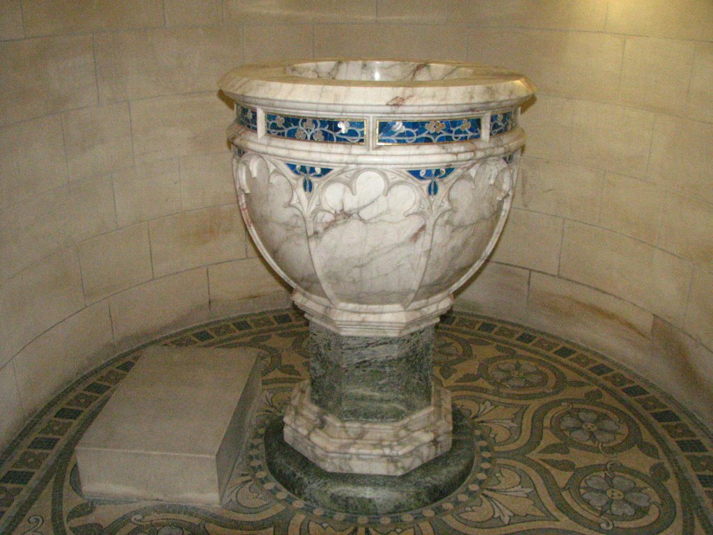
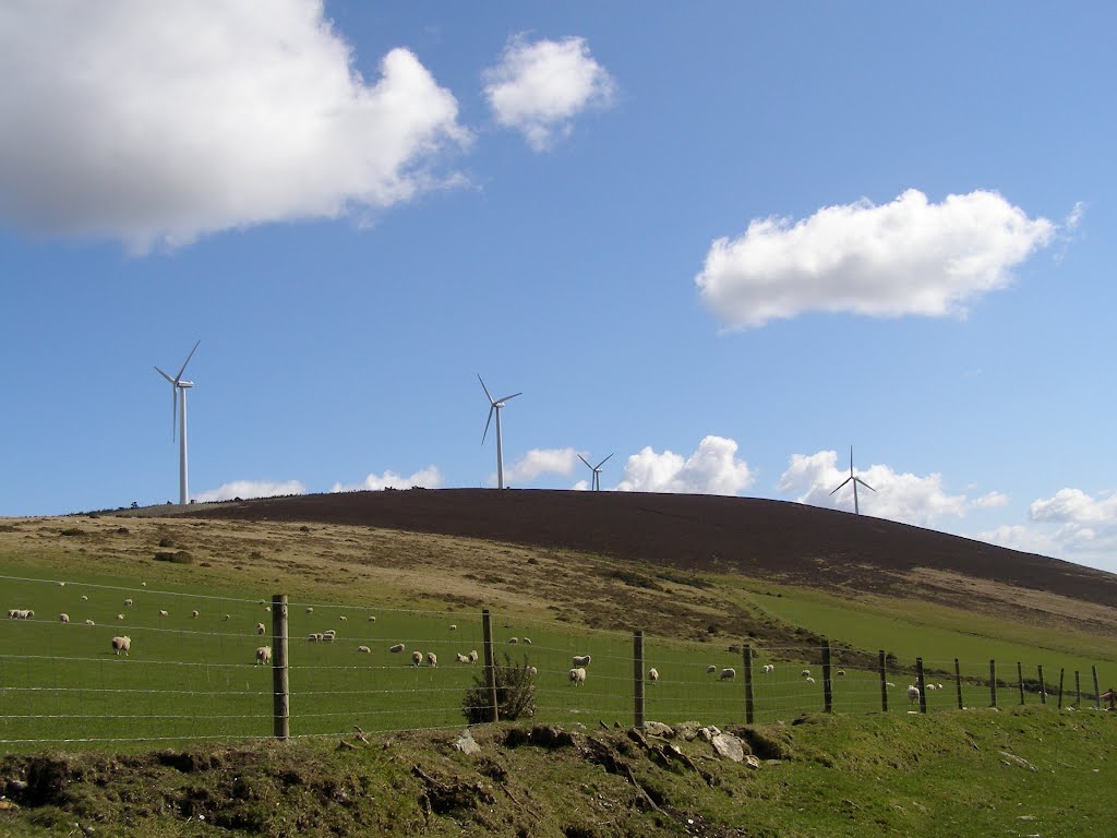
Photos of Myshall
Myshall Weather

Predicción: Scattered clouds
Temperatura: 9.7°
Humedad: 93%
Hora actual: 12:00 AM
Amanece: 05:19 AM
Anochece: 07:32 PM
Letterfrack, Ireland
Latitude: 53.5536 // Longitude: -9.94823
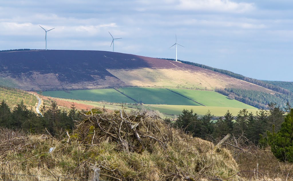
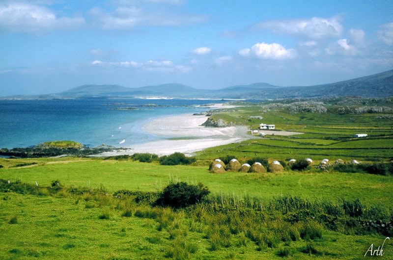
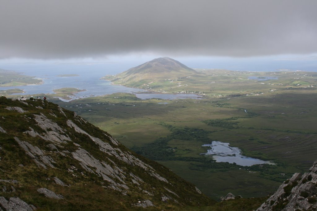
Photos of Letterfrack
Letterfrack Weather

Predicción: Overcast clouds
Temperatura: 10.1°
Humedad: 96%
Hora actual: 12:00 AM
Amanece: 05:30 AM
Anochece: 07:47 PM


