Distance between  Menlo and
  Marlfield
85.53 mi Straight Distance
111.21 mi Driving Distance
1 hour 59 mins Estimated Driving Time
The straight distance between Menlo (Galway) and Marlfield (Tipperary) is 85.53 mi, but the driving distance is 111.21 mi.
It takes 2 hours 25 mins to go from Menlo to Marlfield.
Driving directions from Menlo to Marlfield
Distance in kilometers
Straight distance: 137.62 km. Route distance: 178.94 km
Menlo, Ireland
Latitude: 53.3032 // Longitude: -9.06524
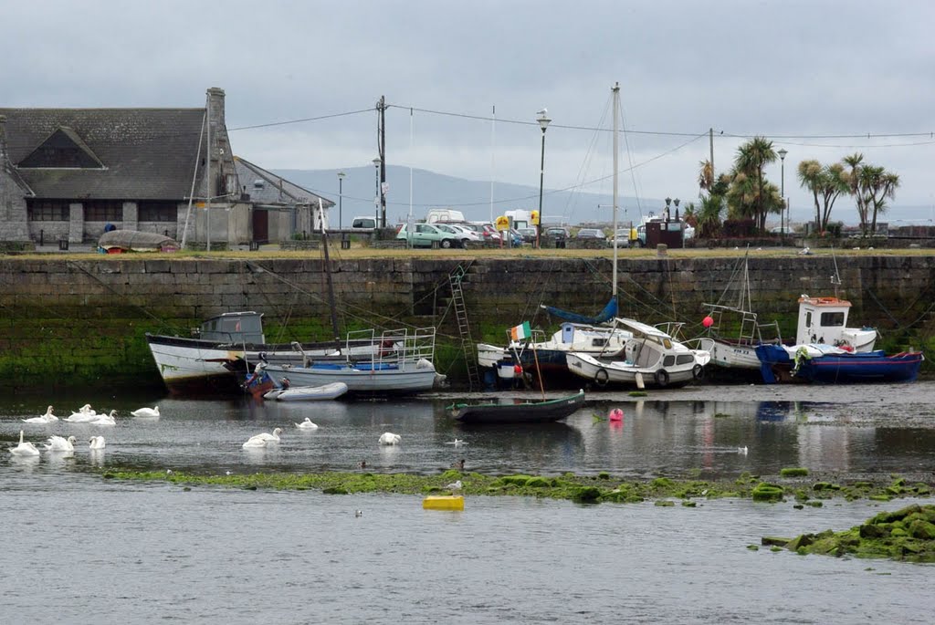
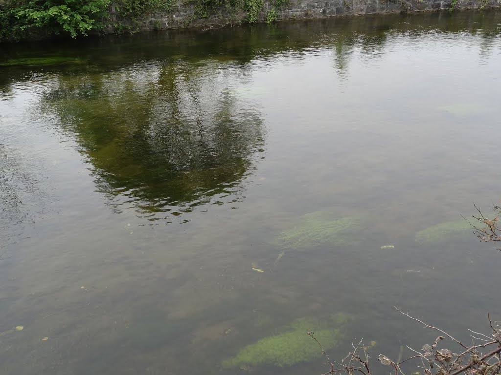
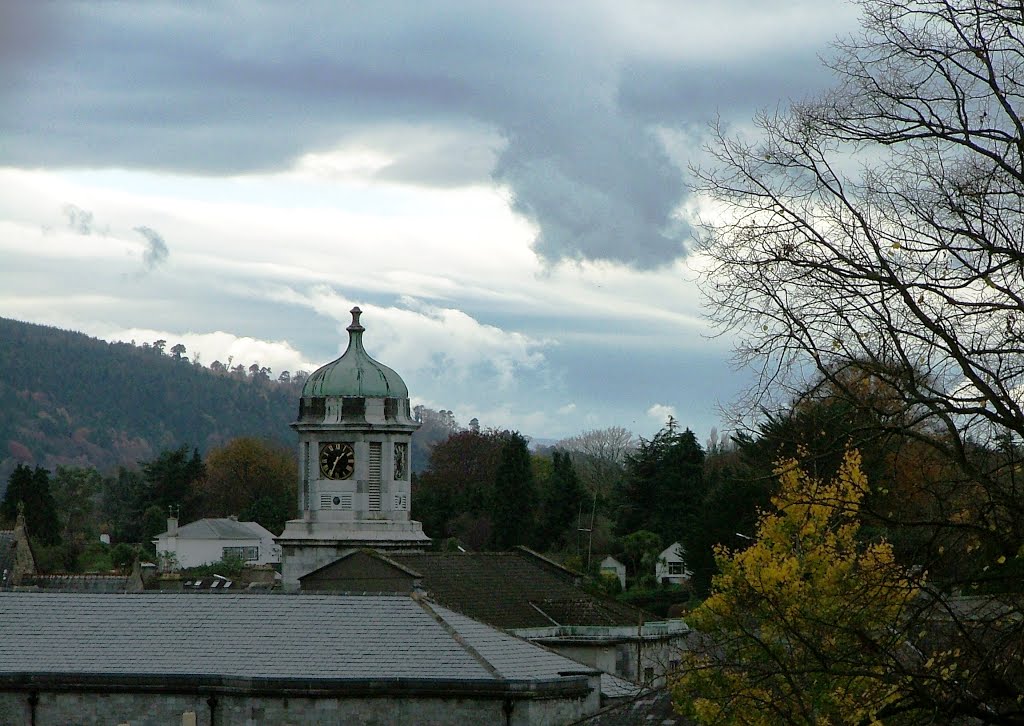
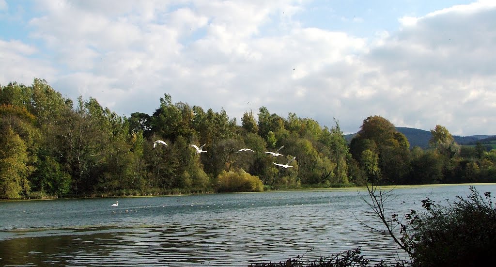
Photos of Menlo
Menlo Weather

Predicción: Scattered clouds
Temperatura: 10.3°
Humedad: 84%
Hora actual: 07:50 PM
Amanece: 06:27 AM
Anochece: 08:43 PM
Marlfield, Ireland
Latitude: 52.3467 // Longitude: -7.76466
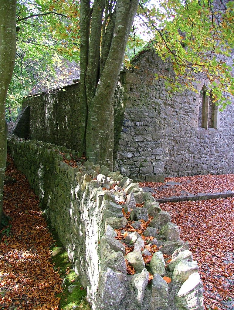
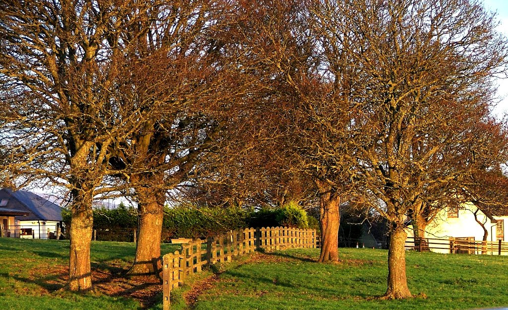
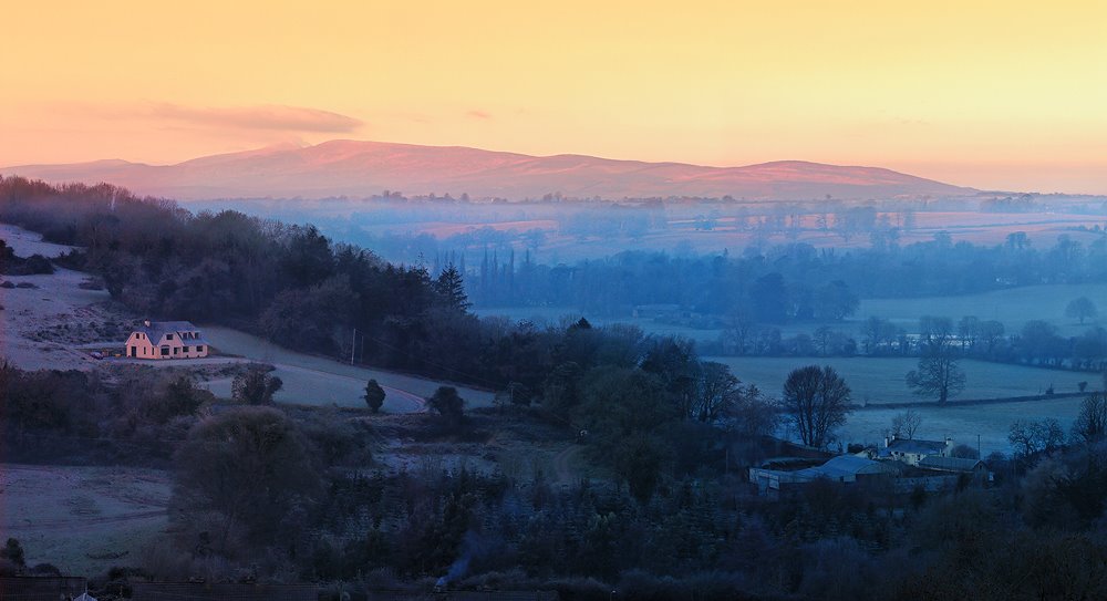
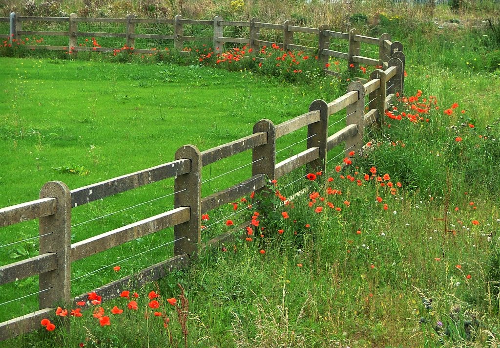
Photos of Marlfield
Marlfield Weather

Predicción: Few clouds
Temperatura: 11.9°
Humedad: 88%
Hora actual: 07:50 PM
Amanece: 06:24 AM
Anochece: 08:35 PM


