Distance between  Laytown and
  Killadysert
137.92 mi Straight Distance
184.94 mi Driving Distance
2 hours 56 mins Estimated Driving Time
The straight distance between Laytown (Meath) and Killadysert (Clare) is 137.92 mi, but the driving distance is 184.94 mi.
It takes to go from Laytown to Killadysert.
Driving directions from Laytown to Killadysert
Distance in kilometers
Straight distance: 221.92 km. Route distance: 297.57 km
Laytown, Ireland
Latitude: 53.6806 // Longitude: -6.23745
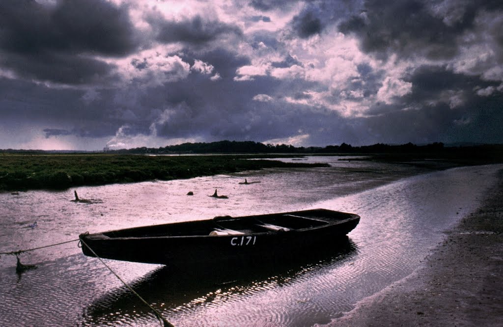
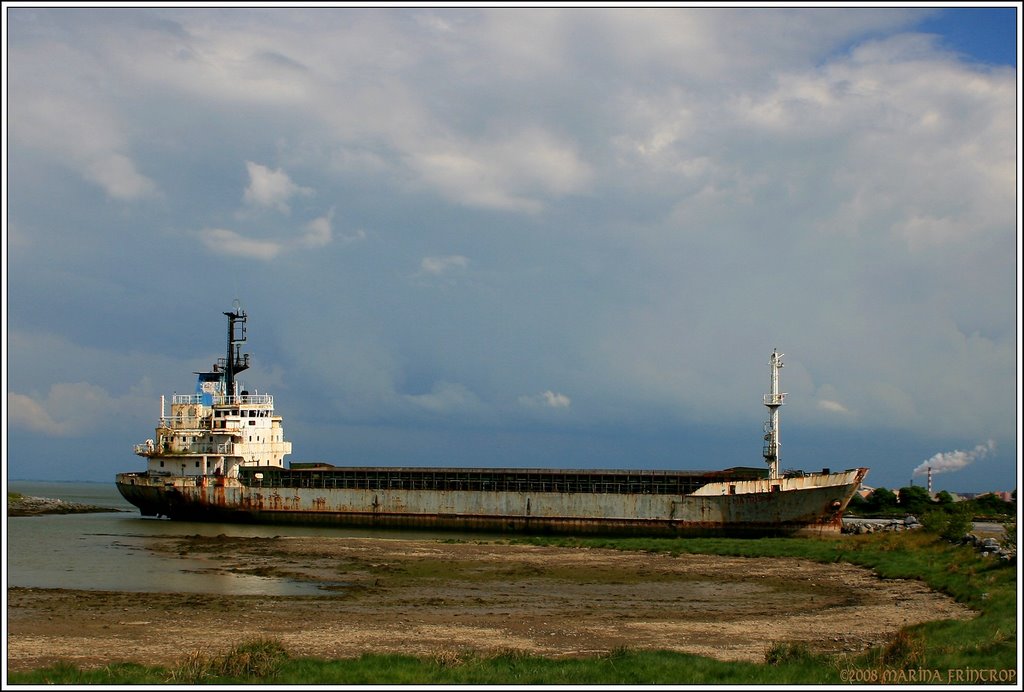
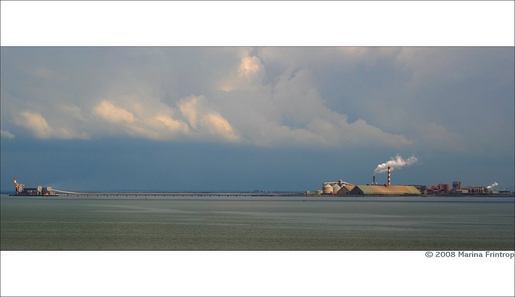
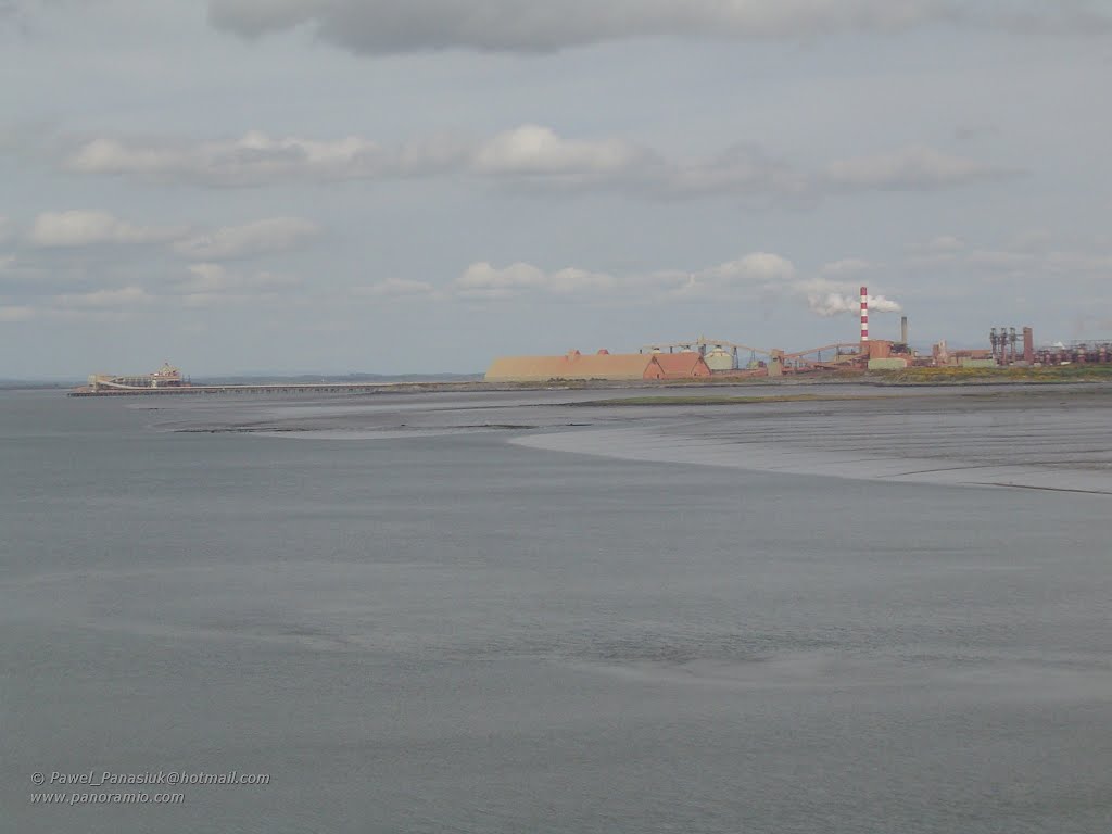
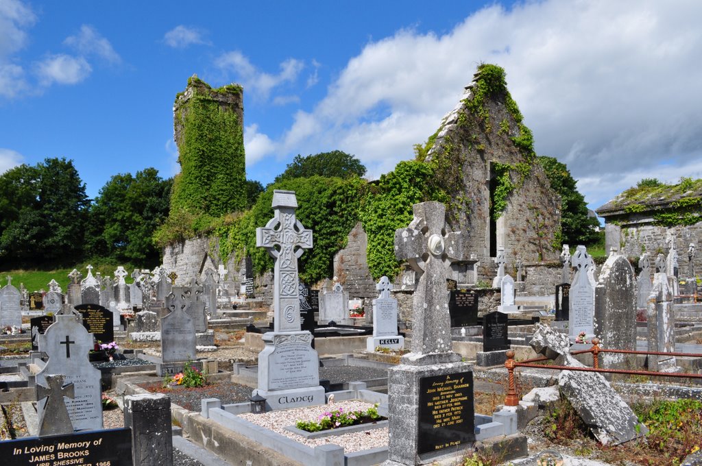
Photos of Laytown
Laytown Weather

Predicción: Overcast clouds
Temperatura: 9.4°
Humedad: 89%
Hora actual: 03:09 AM
Amanece: 06:12 AM
Anochece: 08:34 PM
Killadysert, Ireland
Latitude: 52.6716 // Longitude: -9.11158
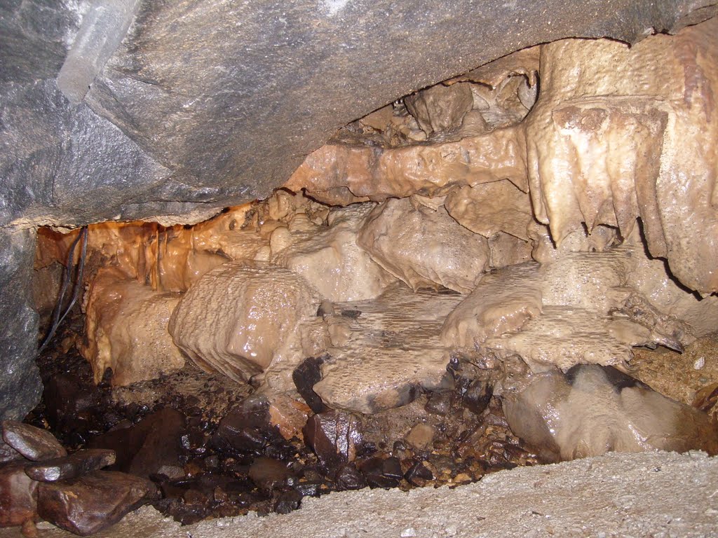
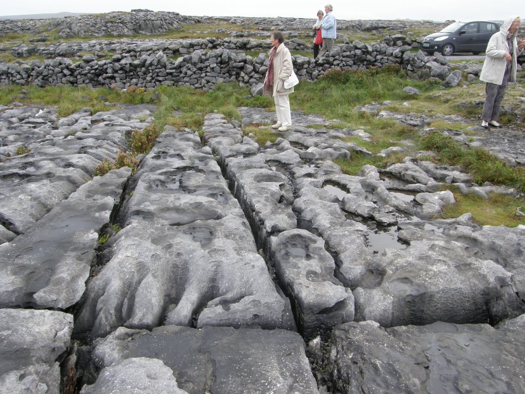
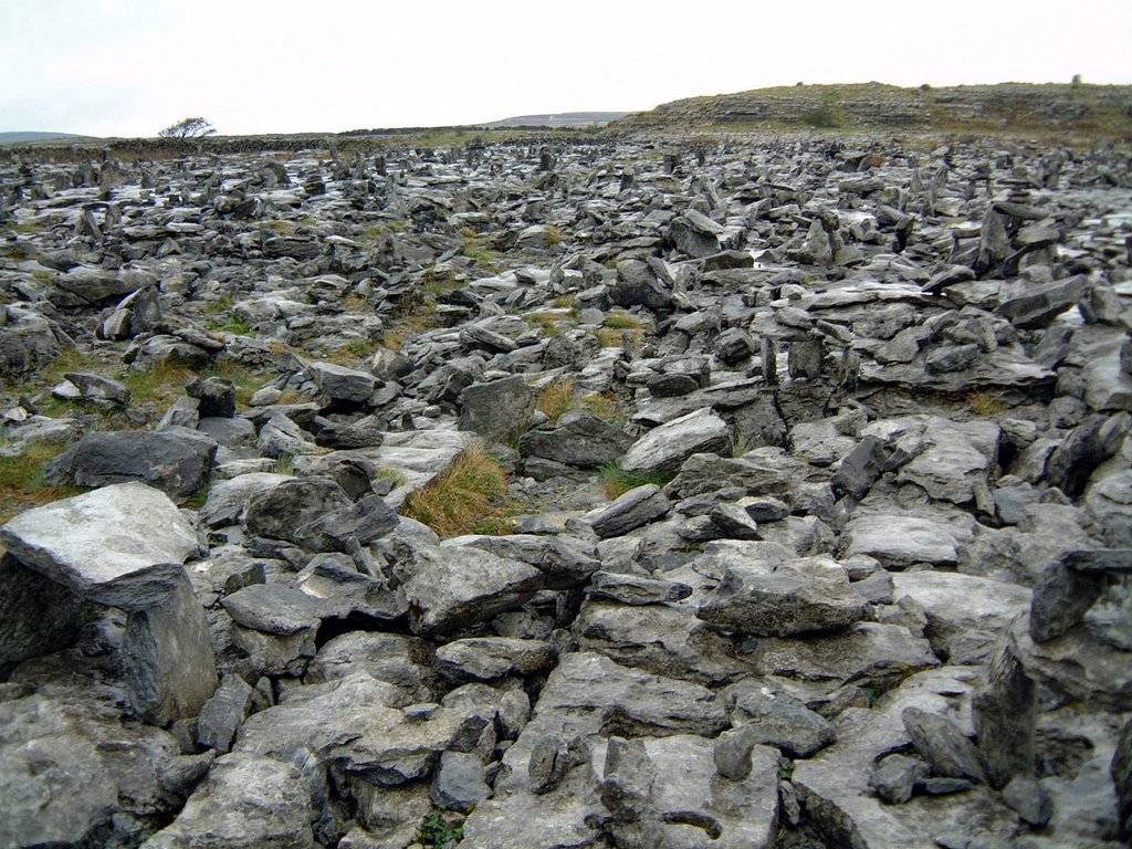
Photos of Killadysert
Killadysert Weather

Predicción: Light intensity drizzle
Temperatura: 9.9°
Humedad: 93%
Hora actual: 01:00 AM
Amanece: 06:26 AM
Anochece: 08:43 PM


