Distance between  Knocknagoshel and
  Kilkelly
108.70 mi Straight Distance
144.96 mi Driving Distance
2 hours 27 mins Estimated Driving Time
The straight distance between Knocknagoshel (Kerry) and Kilkelly (Mayo) is 108.70 mi, but the driving distance is 144.96 mi.
It takes 3 hours 7 mins to go from Knocknagoshel to Kilkelly.
Driving directions from Knocknagoshel to Kilkelly
Distance in kilometers
Straight distance: 174.90 km. Route distance: 233.23 km
Knocknagoshel, Ireland
Latitude: 52.3313 // Longitude: -9.38228
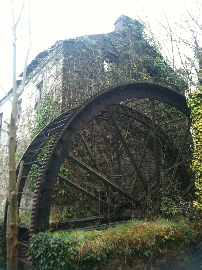
Photos of Knocknagoshel
Knocknagoshel Weather

Predicción: Broken clouds
Temperatura: 11.0°
Humedad: 76%
Hora actual: 01:35 PM
Amanece: 06:30 AM
Anochece: 08:42 PM
Kilkelly, Ireland
Latitude: 53.8718 // Longitude: -8.85024
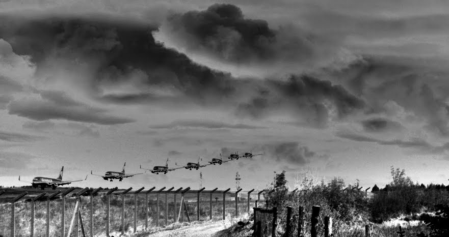
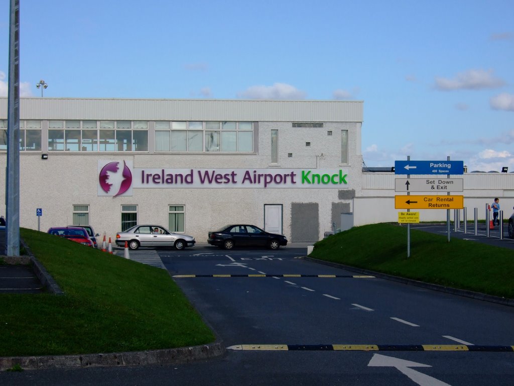
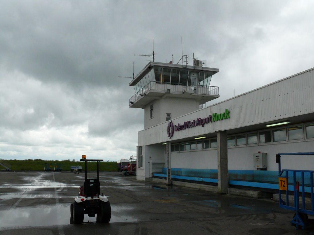
Photos of Kilkelly
Kilkelly Weather

Predicción: Broken clouds
Temperatura: 11.6°
Humedad: 87%
Hora actual: 01:35 PM
Amanece: 06:25 AM
Anochece: 08:44 PM


