Distance between  Killucan and
  Islandeady
94.56 mi Straight Distance
109.83 mi Driving Distance
2 hours 4 mins Estimated Driving Time
The straight distance between Killucan (Westmeath) and Islandeady (Mayo) is 94.56 mi, but the driving distance is 109.83 mi.
It takes to go from Killucan to Islandeady.
Driving directions from Killucan to Islandeady
Distance in kilometers
Straight distance: 152.15 km. Route distance: 176.72 km
Killucan, Ireland
Latitude: 53.5137 // Longitude: -7.14279
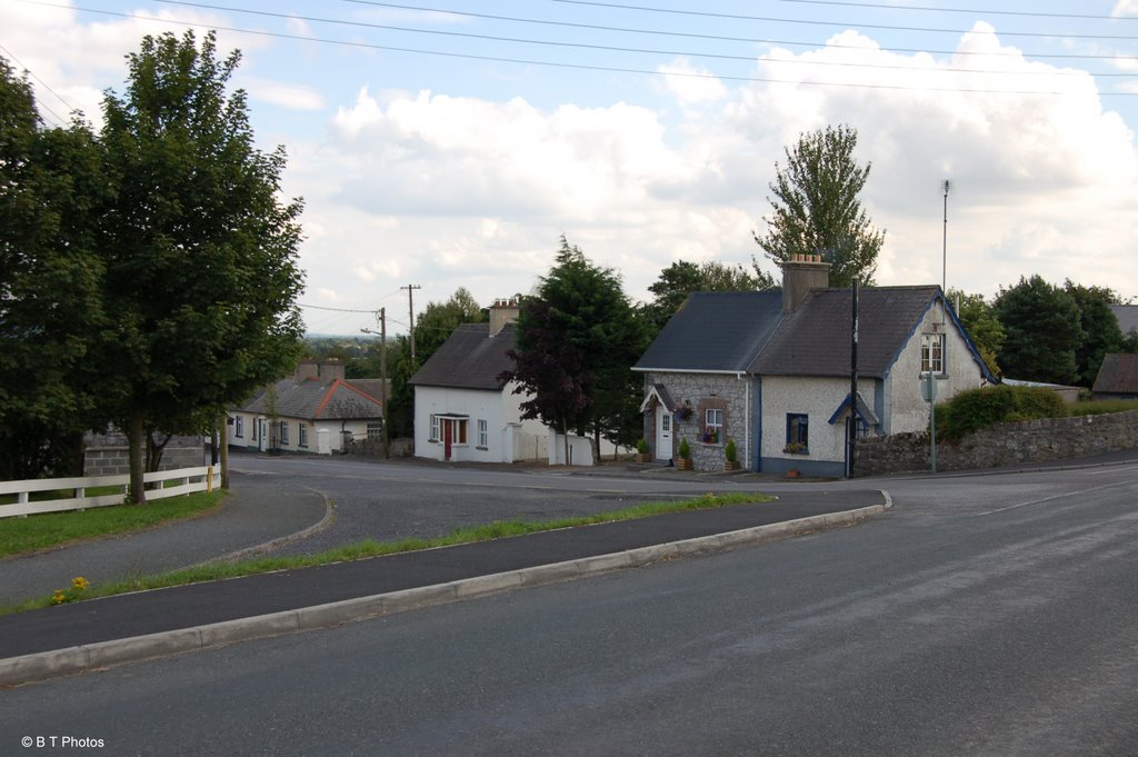
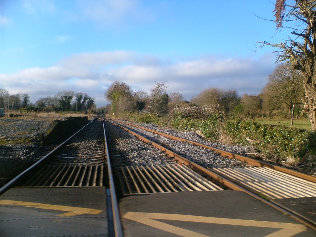
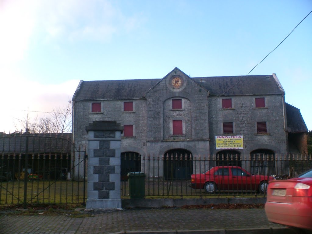
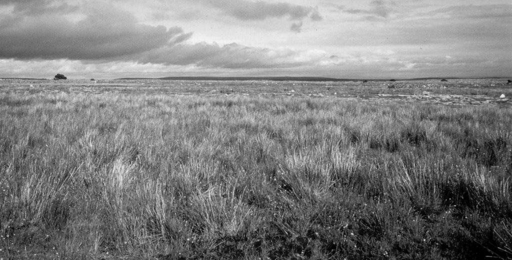
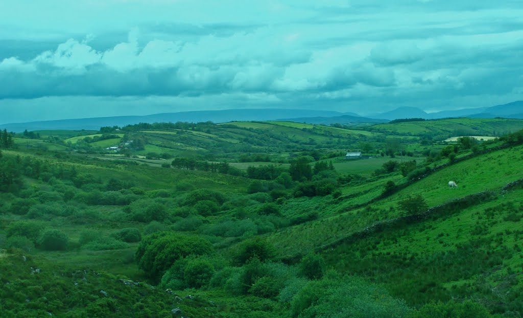
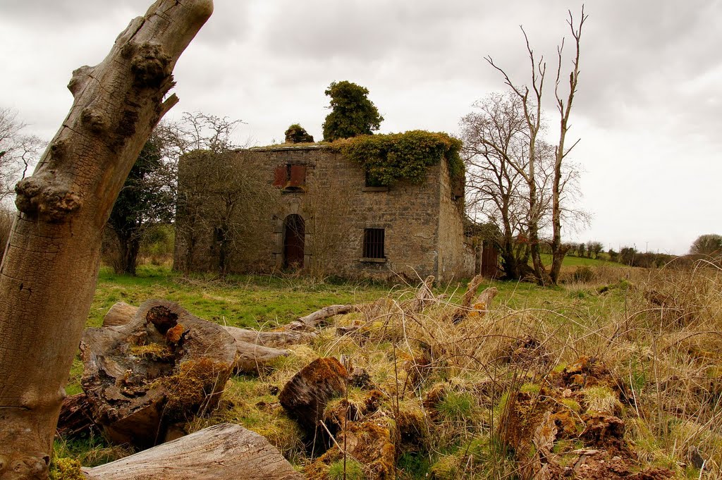
Photos of Killucan
Killucan Weather

Predicción: Overcast clouds
Temperatura: 9.8°
Humedad: 87%
Hora actual: 09:53 PM
Amanece: 06:19 AM
Anochece: 08:36 PM
Islandeady, Ireland
Latitude: 53.8289 // Longitude: -9.39107
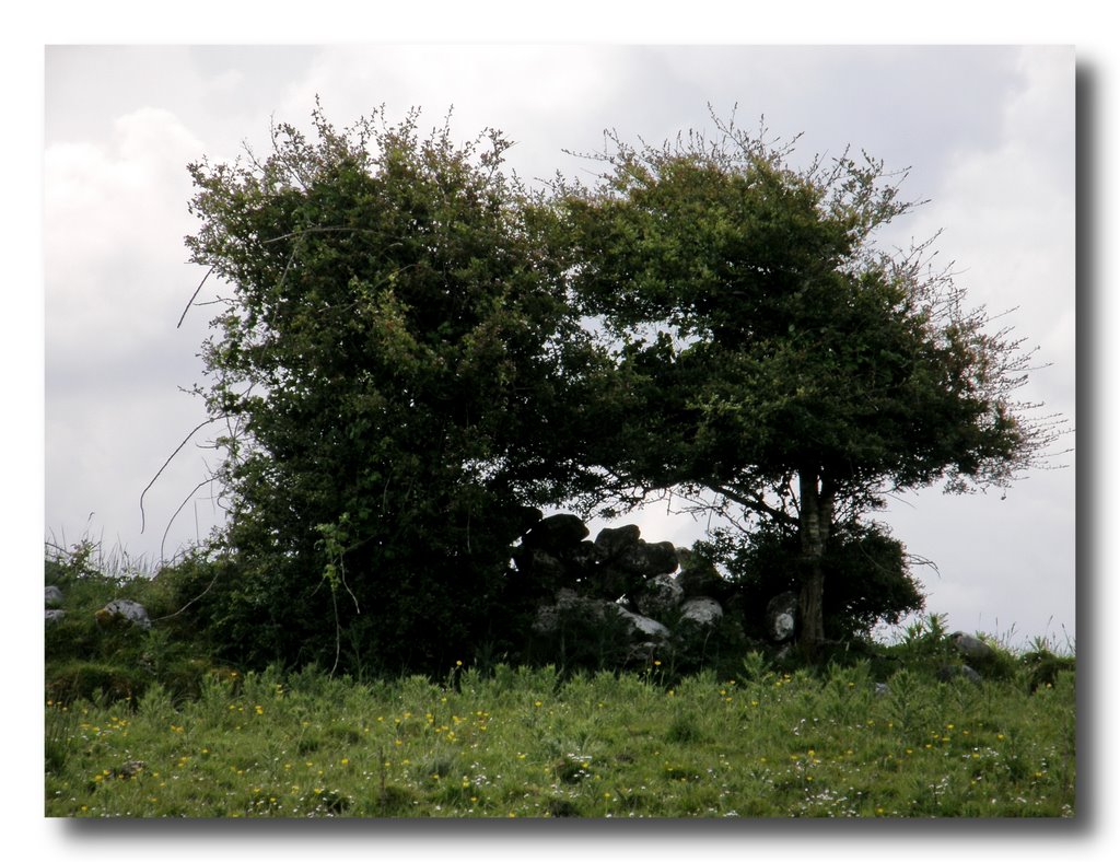
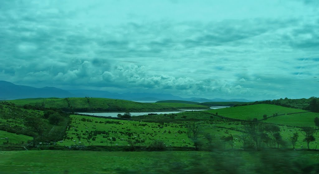
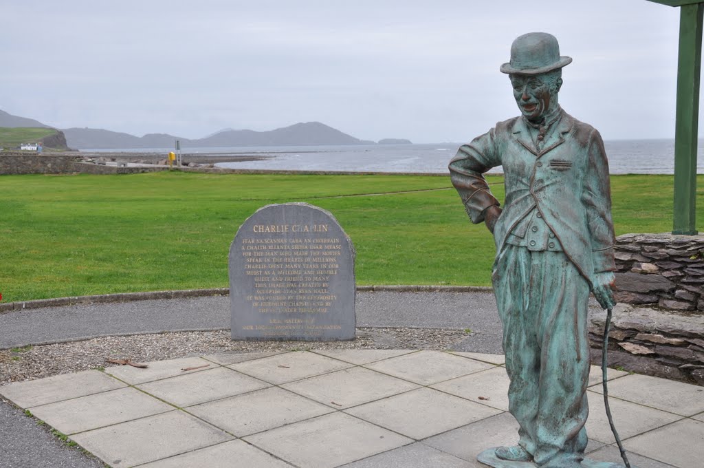
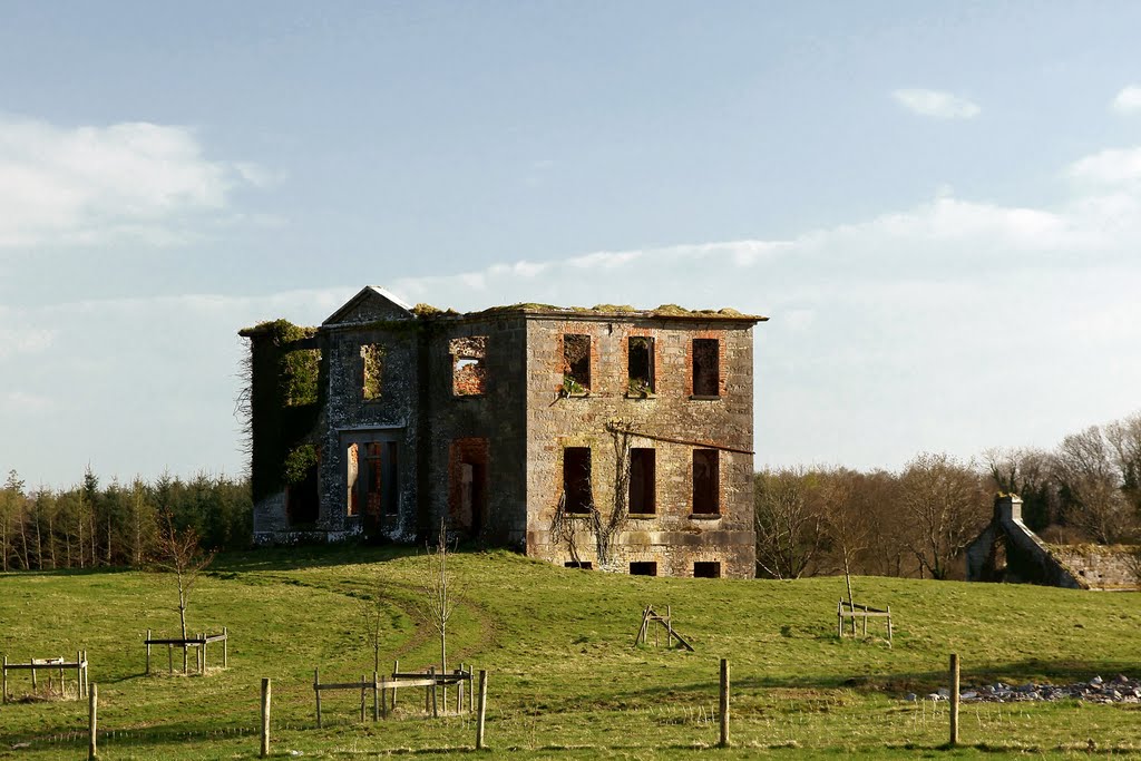
Photos of Islandeady
Islandeady Weather

Predicción: Overcast clouds
Temperatura: 9.7°
Humedad: 92%
Hora actual: 01:00 AM
Amanece: 06:27 AM
Anochece: 08:46 PM


