Distance between  Kildavin and
  Fossa
Fossa
136.21 mi Straight Distance
163.39 mi Driving Distance
3 hours 3 mins Estimated Driving Time
The straight distance between Kildavin (Wexford) and Fossa (Kerry) is 136.21 mi, but the driving distance is 163.39 mi.
It takes to go from Kildavin to Fossa.
Driving directions from Kildavin to Fossa
Distance in kilometers
Straight distance: 219.15 km. Route distance: 262.90 km
Kildavin, Ireland
Latitude: 52.4053 // Longitude: -6.4112
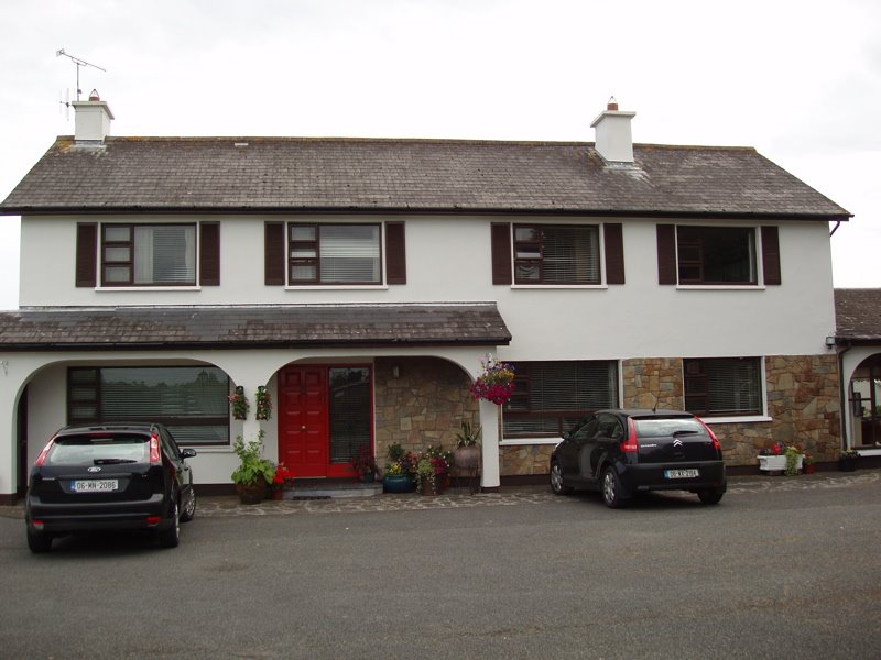
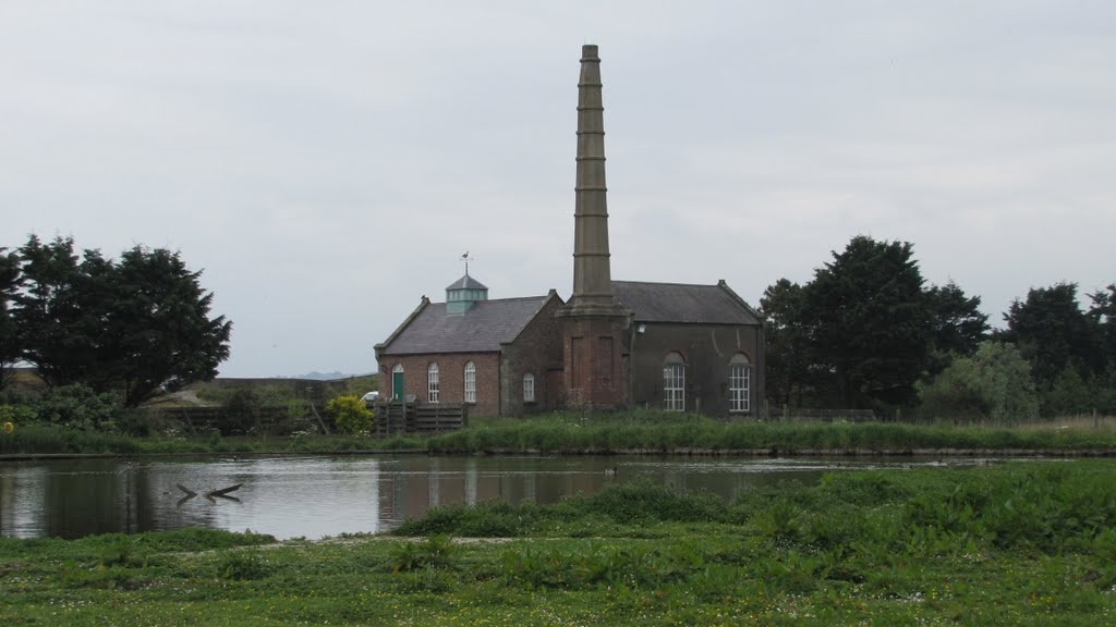
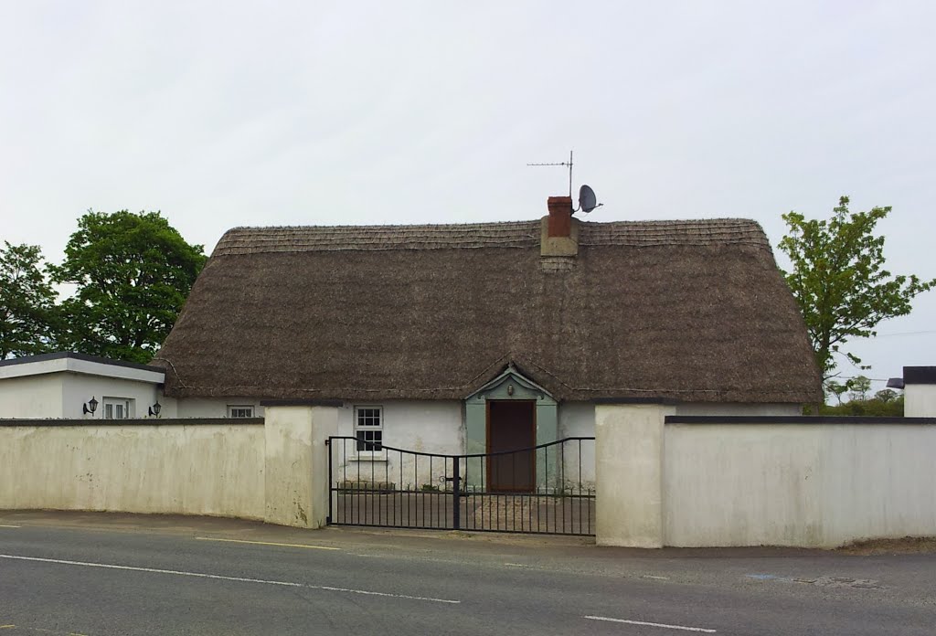
Photos of Kildavin
Kildavin Weather

Predicción: Overcast clouds
Temperatura: 10.2°
Humedad: 95%
Hora actual: 12:32 AM
Amanece: 06:16 AM
Anochece: 08:32 PM
Fossa, Ireland
Latitude: 52.0687 // Longitude: -9.58324
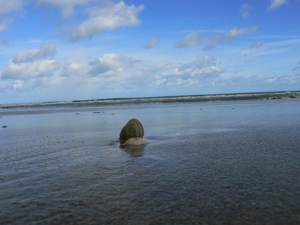
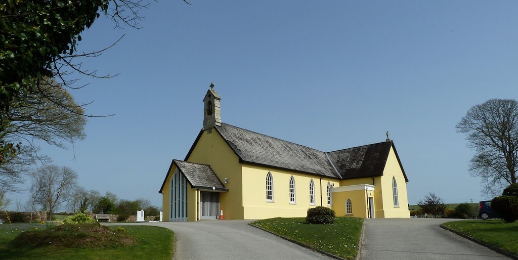
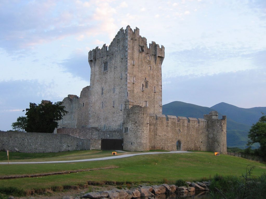
Photos of Fossa
Fossa Weather

Predicción: Broken clouds
Temperatura: 9.2°
Humedad: 91%
Hora actual: 12:32 AM
Amanece: 06:30 AM
Anochece: 08:44 PM


