
Distance between  Horse and Jockey and
  County Galway
68.13 mi Straight Distance
90.79 mi Driving Distance
1 hour 51 mins Estimated Driving Time
The straight distance between Horse and Jockey (Tipperary) and County Galway (Galway) is 68.13 mi, but the driving distance is 90.79 mi.
It takes to go from Horse and Jockey to County Galway.
Driving directions from Horse and Jockey to County Galway
Distance in kilometers
Straight distance: 109.62 km. Route distance: 146.09 km
Horse and Jockey, Ireland
Latitude: 52.6174 // Longitude: -7.7689
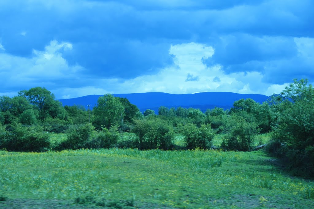
Photos of Horse and Jockey


Horse and Jockey Weather

Predicción: Few clouds
Temperatura: 7.0°
Humedad: 80%
Hora actual: 09:13 PM
Amanece: 06:28 AM
Anochece: 08:33 PM
County Galway, Ireland
Latitude: 53.3564 // Longitude: -8.85341
Photos of County Galway


County Galway Weather
Predicción: Few clouds
Temperatura: 6.2°
Humedad: 86%
Hora actual: 09:13 PM
Amanece: 06:30 AM
Anochece: 08:39 PM


