Distance between  Gortahork and
  Ballyvourney
223.12 mi Straight Distance
323.30 mi Driving Distance
5 hours 38 mins Estimated Driving Time
The straight distance between Gortahork (Donegal) and Ballyvourney (Cork) is 223.12 mi, but the driving distance is 323.30 mi.
It takes to go from Gortahork to Ballyvourney.
Driving directions from Gortahork to Ballyvourney
Distance in kilometers
Straight distance: 358.99 km. Route distance: 520.19 km
Gortahork, Ireland
Latitude: 55.1169 // Longitude: -8.14007
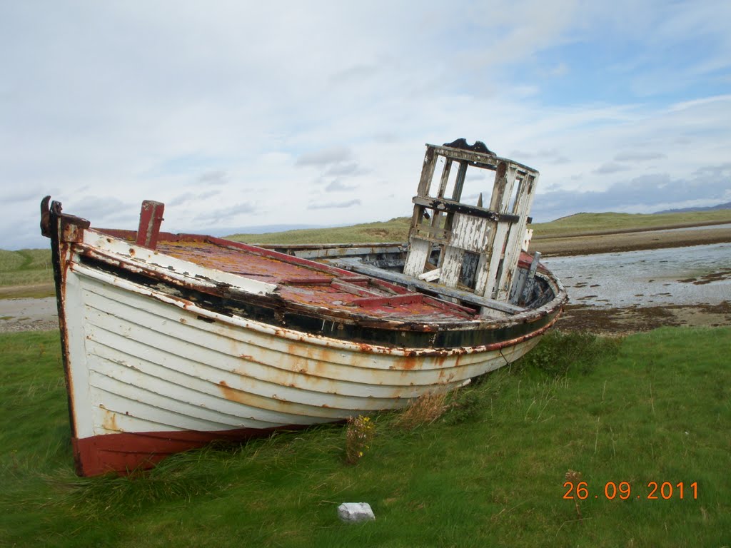
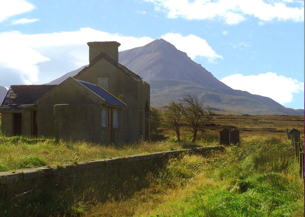
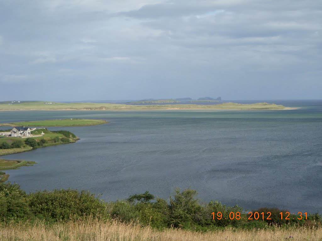
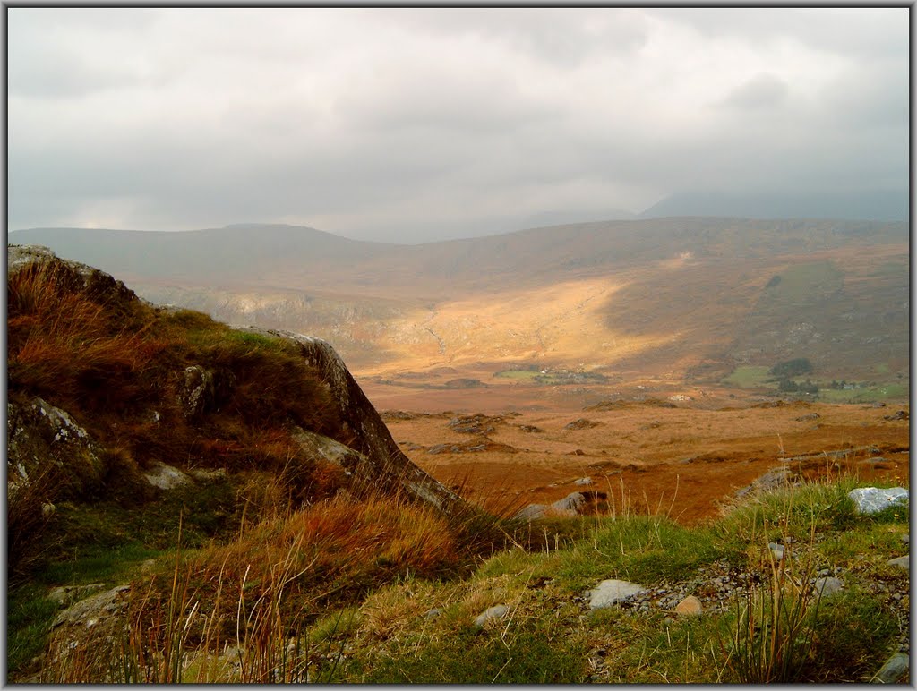
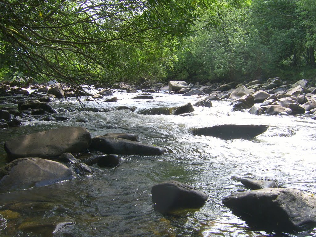
Photos of Gortahork
Gortahork Weather

Predicción: Scattered clouds
Temperatura: 8.9°
Humedad: 71%
Hora actual: 10:16 AM
Amanece: 06:23 AM
Anochece: 08:40 PM
Ballyvourney, Ireland
Latitude: 51.9455 // Longitude: -9.16409
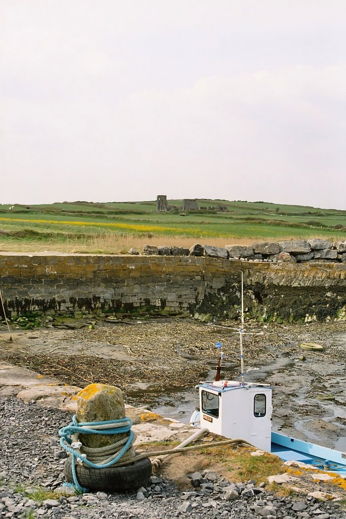
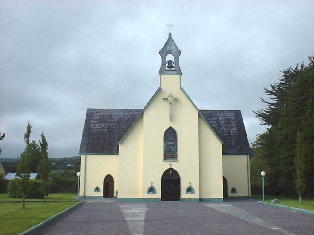
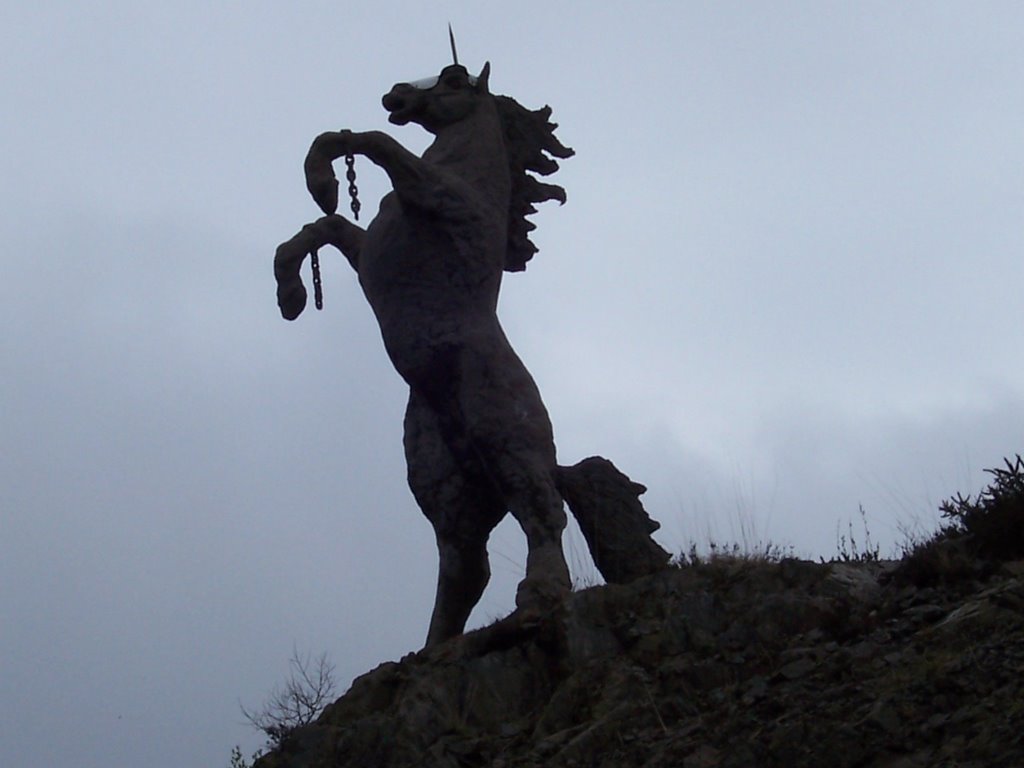
Photos of Ballyvourney
Ballyvourney Weather

Predicción: Overcast clouds
Temperatura: 7.3°
Humedad: 86%
Hora actual: 01:00 AM
Amanece: 06:35 AM
Anochece: 08:37 PM


