Distance between  Glasheen and
  Dunmore East
106.38 mi Straight Distance
136.03 mi Driving Distance
2 hours 10 mins Estimated Driving Time
The straight distance between Glasheen (Meath) and Dunmore East (Waterford) is 106.38 mi, but the driving distance is 136.03 mi.
It takes to go from Glasheen to Dunmore East.
Driving directions from Glasheen to Dunmore East
Distance in kilometers
Straight distance: 171.17 km. Route distance: 218.87 km
Glasheen, Ireland
Latitude: 53.6298 // Longitude: -6.27396
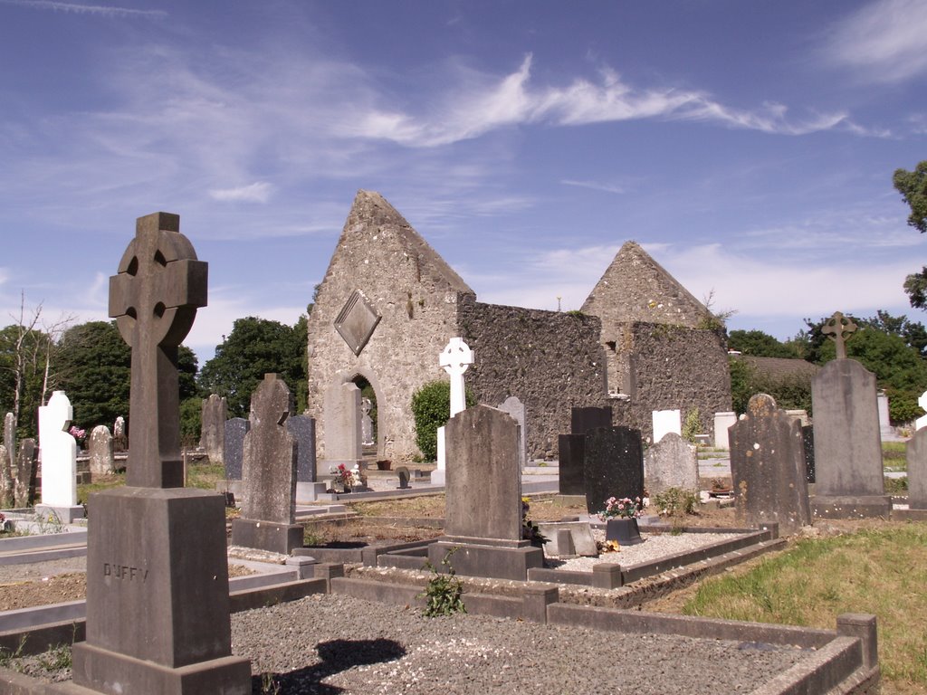
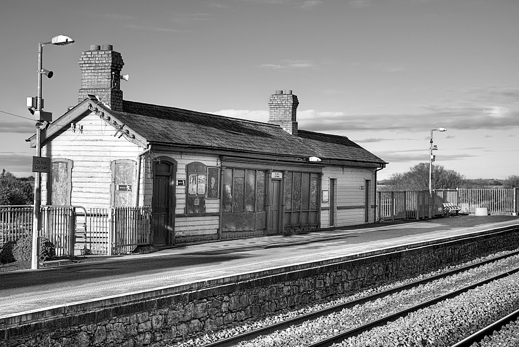
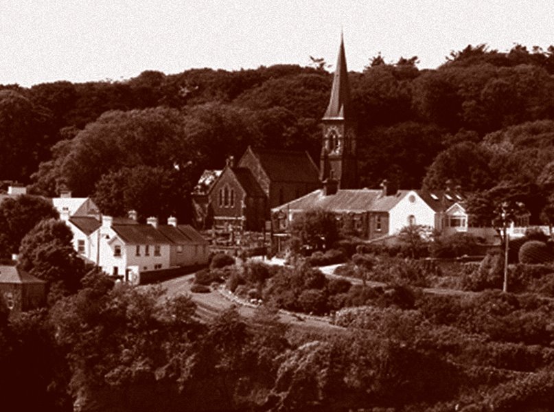
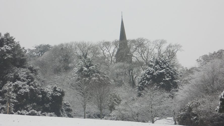
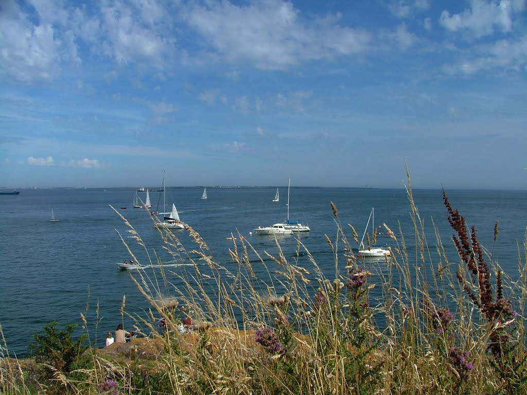
Photos of Glasheen
Glasheen Weather

Predicción: Overcast clouds
Temperatura: 12.2°
Humedad: 79%
Hora actual: 07:26 PM
Amanece: 06:15 AM
Anochece: 08:33 PM
Dunmore East, Ireland
Latitude: 52.1528 // Longitude: -6.9948
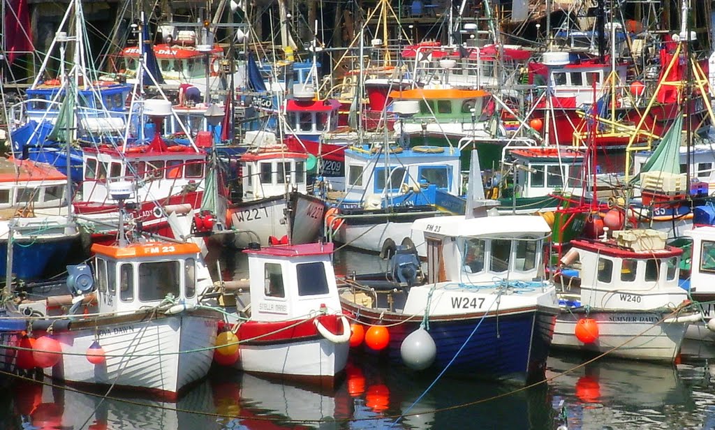
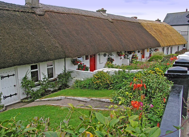
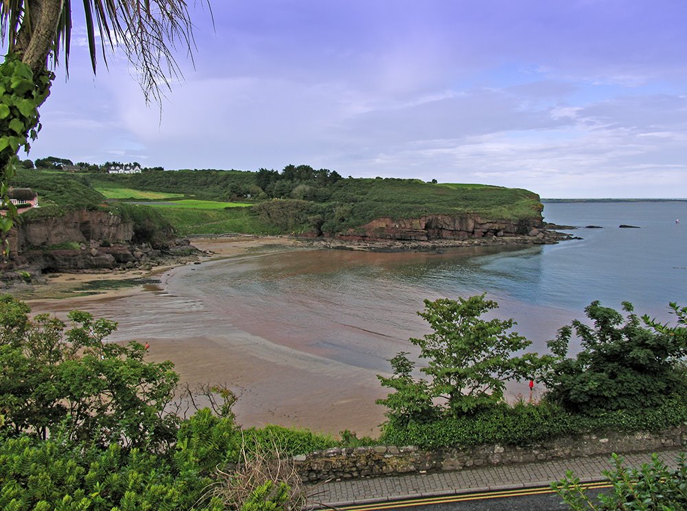
Photos of Dunmore East
Dunmore East Weather

Predicción: Broken clouds
Temperatura: 12.9°
Humedad: 70%
Hora actual: 07:26 PM
Amanece: 06:21 AM
Anochece: 08:32 PM


