
Distance between  Drumkeeran and
  Drogheda
79.07 mi Straight Distance
104.93 mi Driving Distance
2 hours 8 mins Estimated Driving Time
The straight distance between Drumkeeran (Leitrim) and Drogheda (Louth) is 79.07 mi, but the driving distance is 104.93 mi.
It takes to go from Drumkeeran to Drogheda.
Driving directions from Drumkeeran to Drogheda
Distance in kilometers
Straight distance: 127.22 km. Route distance: 168.84 km
Drumkeeran, Ireland
Latitude: 54.1694 // Longitude: -8.14266
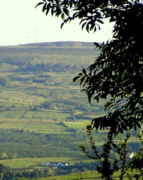
Photos of Drumkeeran


Drumkeeran Weather

Predicción: Scattered clouds
Temperatura: 6.6°
Humedad: 98%
Hora actual: 12:00 AM
Amanece: 05:21 AM
Anochece: 07:42 PM
Drogheda, Ireland
Latitude: 53.7179 // Longitude: -6.3561
Photos of Drogheda


Drogheda Weather

Predicción: Clear sky
Temperatura: 3.3°
Humedad: 91%
Hora actual: 01:53 AM
Amanece: 06:15 AM
Anochece: 08:33 PM


