Distance between  Derrybrien and
  Cushinstown
76.49 mi Straight Distance
100.49 mi Driving Distance
2 hours 0 mins Estimated Driving Time
The straight distance between Derrybrien (Galway) and Cushinstown (Kildare) is 76.49 mi, but the driving distance is 100.49 mi.
It takes to go from Derrybrien to Cushinstown.
Driving directions from Derrybrien to Cushinstown
Distance in kilometers
Straight distance: 123.07 km. Route distance: 161.69 km
Derrybrien, Ireland
Latitude: 53.0658 // Longitude: -8.61151
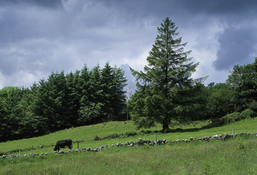
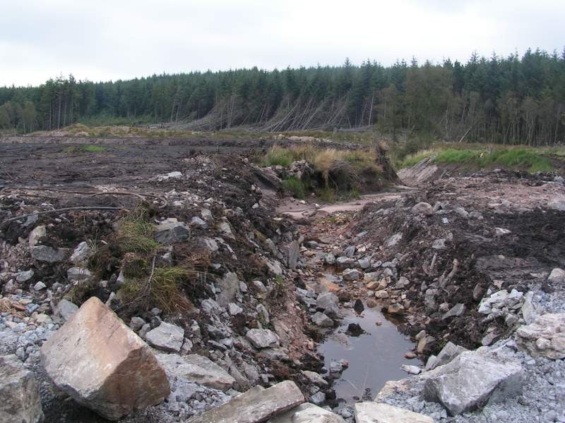
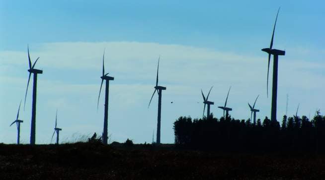
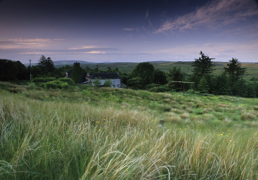
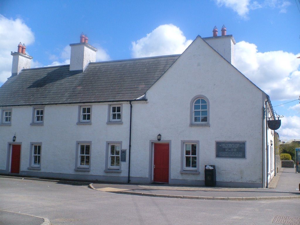
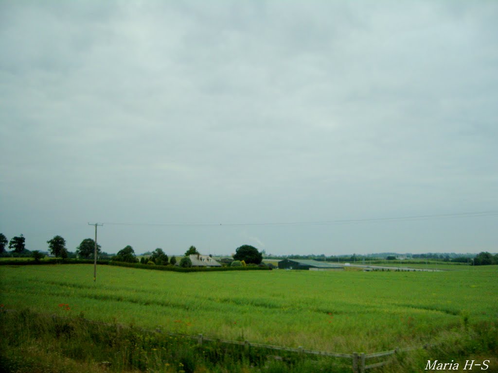
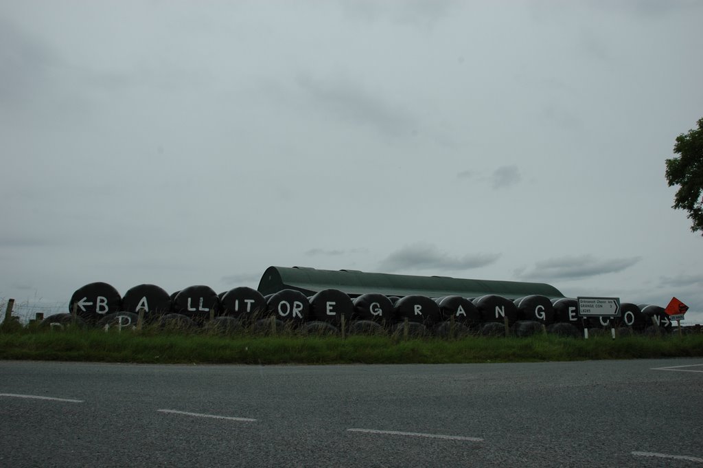
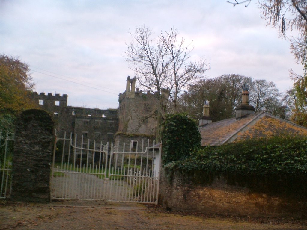
Photos of Derrybrien
Derrybrien Weather

Predicción: Broken clouds
Temperatura: 7.0°
Humedad: 96%
Hora actual: 12:00 AM
Amanece: 05:26 AM
Anochece: 07:41 PM
Cushinstown, Ireland
Latitude: 52.966 // Longitude: -6.77875
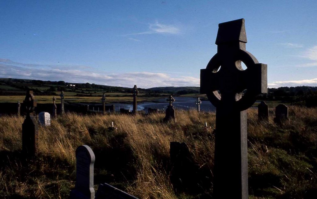
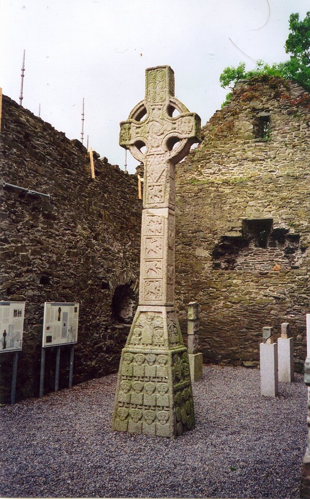
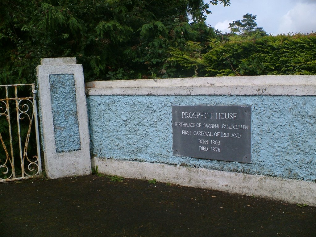
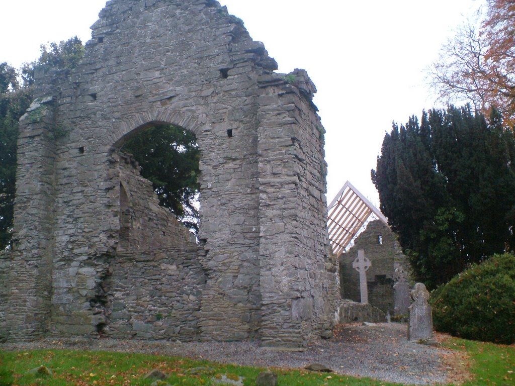
Photos of Cushinstown
Cushinstown Weather

Predicción: Scattered clouds
Temperatura: 3.1°
Humedad: 96%
Hora actual: 06:03 AM
Amanece: 06:19 AM
Anochece: 08:33 PM


