
Distance between  Craughwell and
  Coolderry
95.89 mi Straight Distance
127.93 mi Driving Distance
2 hours 32 mins Estimated Driving Time
The straight distance between Craughwell (Galway) and Coolderry (Monaghan) is 95.89 mi, but the driving distance is 127.93 mi.
It takes to go from Craughwell to Coolderry.
Driving directions from Craughwell to Coolderry
Distance in kilometers
Straight distance: 154.29 km. Route distance: 205.84 km
Craughwell, Ireland
Latitude: 53.2261 // Longitude: -8.7331
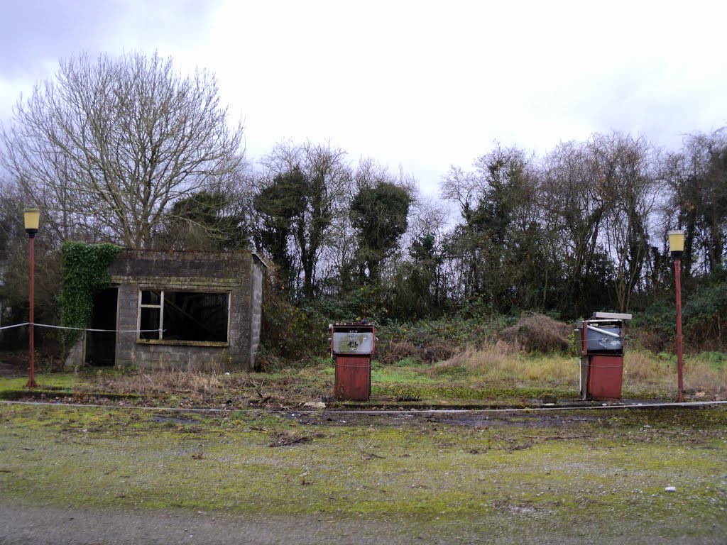
Photos of Craughwell


Craughwell Weather

Predicción: Broken clouds
Temperatura: 13.0°
Humedad: 71%
Hora actual: 03:56 PM
Amanece: 06:26 AM
Anochece: 08:41 PM
Coolderry, Ireland
Latitude: 53.9103 // Longitude: -6.69965
Photos of Coolderry


Coolderry Weather
Predicción: Overcast clouds
Temperatura: 12.2°
Humedad: 84%
Hora actual: 01:00 AM
Amanece: 06:16 AM
Anochece: 08:35 PM


