Distance between  Corrofin and
  Carraroe
32.71 mi Straight Distance
41.86 mi Driving Distance
1 hour 4 mins Estimated Driving Time
The straight distance between Corrofin (Galway) and Carraroe (Galway) is 32.71 mi, but the driving distance is 41.86 mi.
It takes to go from Corrofin to Carraroe.
Driving directions from Corrofin to Carraroe
Distance in kilometers
Straight distance: 52.63 km. Route distance: 67.35 km
Corrofin, Ireland
Latitude: 53.4376 // Longitude: -8.86027
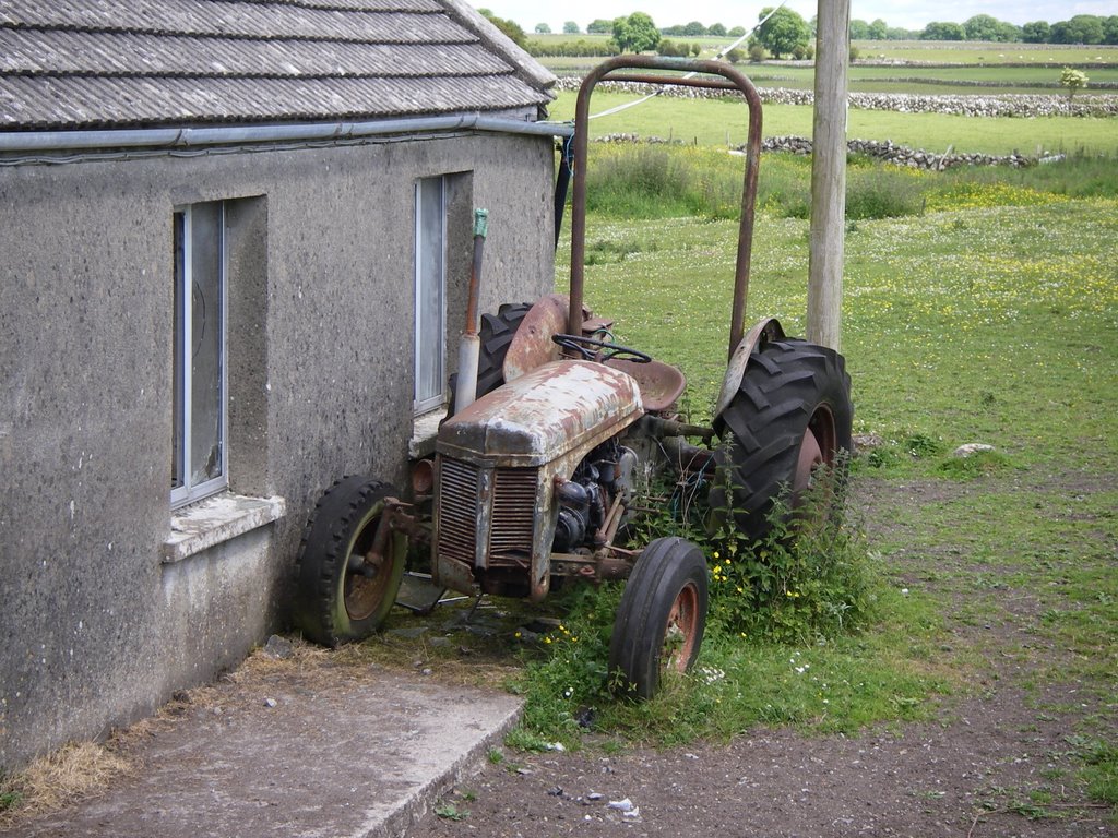
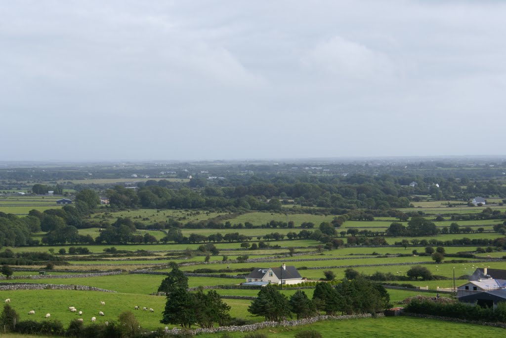
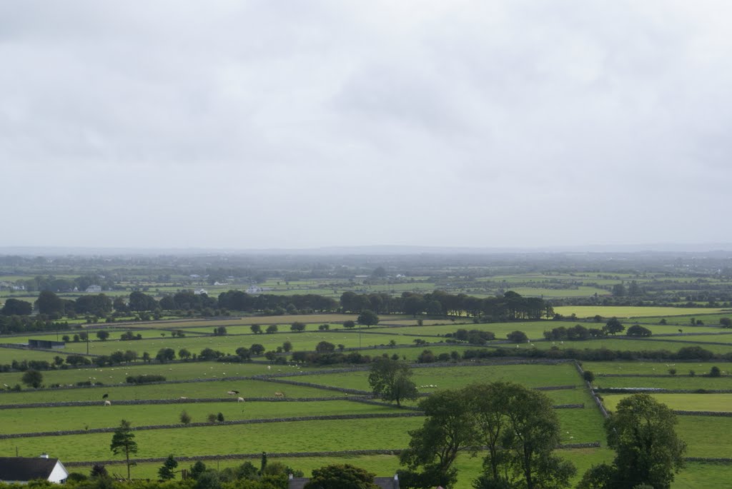
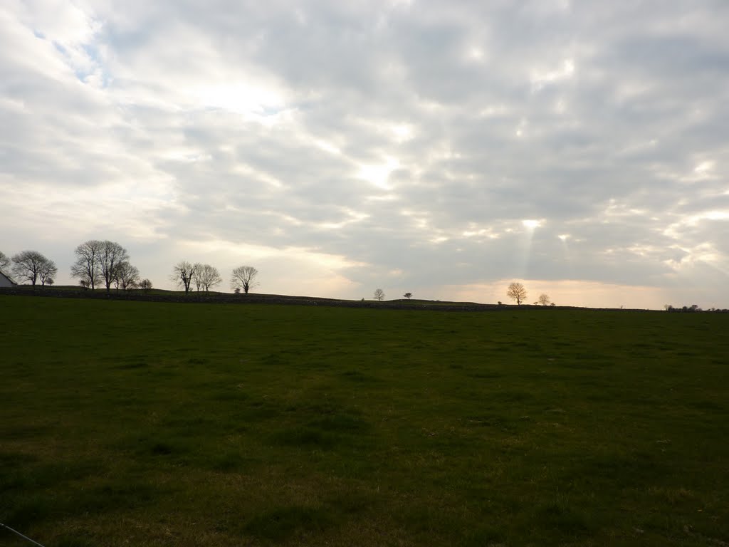
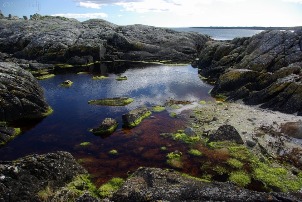
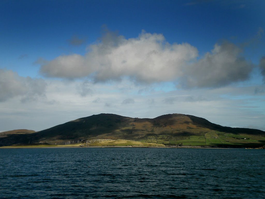
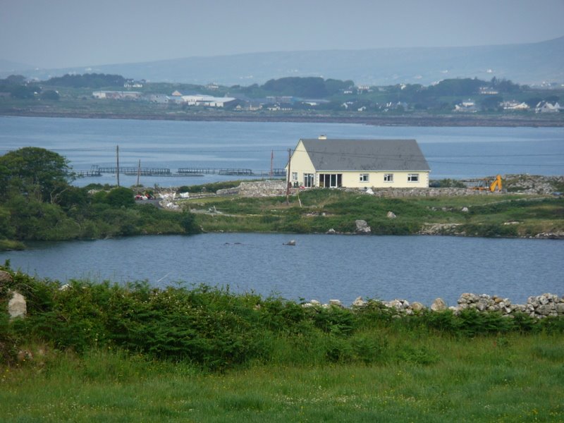
Photos of Corrofin
Corrofin Weather

Predicción: Broken clouds
Temperatura: 7.0°
Humedad: 90%
Hora actual: 04:51 AM
Amanece: 06:26 AM
Anochece: 08:42 PM
Carraroe, Ireland
Latitude: 53.2641 // Longitude: -9.59827
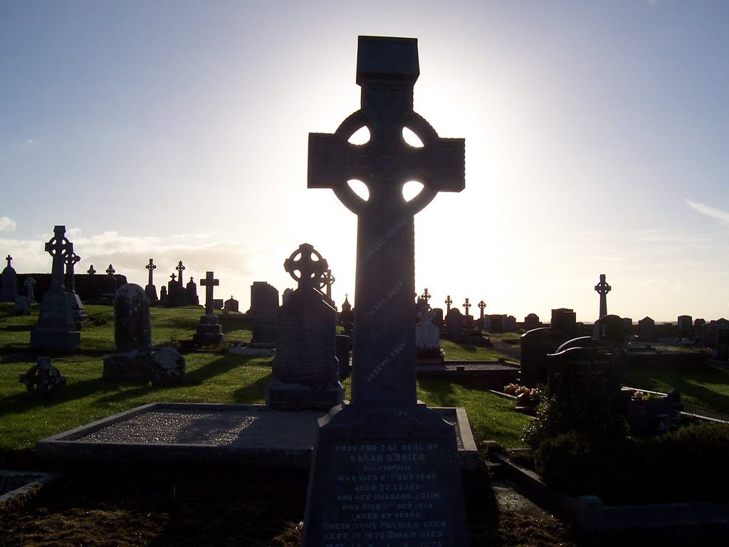
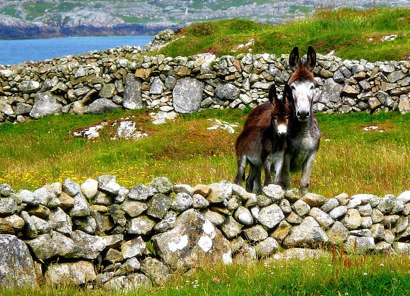
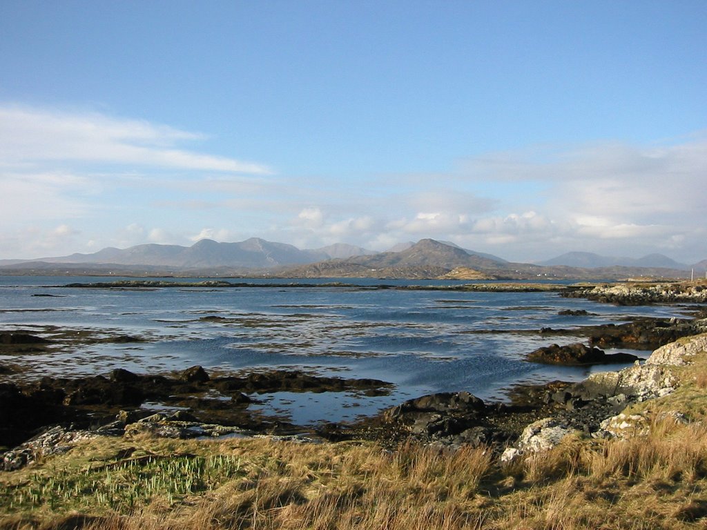
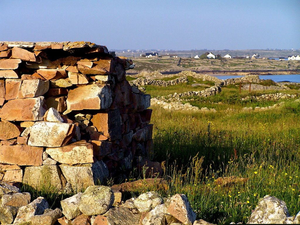
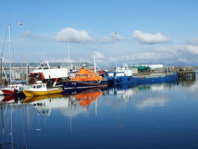
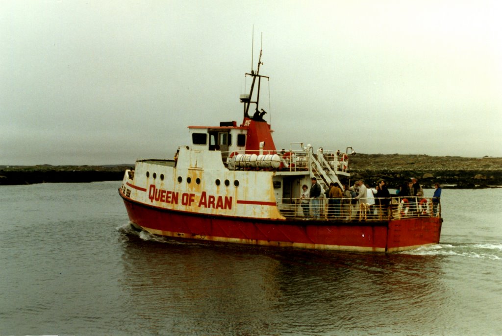
Photos of Carraroe
Carraroe Weather

Predicción: Few clouds
Temperatura: 8.2°
Humedad: 86%
Hora actual: 04:51 AM
Amanece: 06:29 AM
Anochece: 08:45 PM


