Distance between  Corrofin and
  Aughrim
112.95 mi Straight Distance
174.77 mi Driving Distance
2 hours 50 mins Estimated Driving Time
The straight distance between Corrofin (Galway) and Aughrim (Wicklow) is 112.95 mi, but the driving distance is 174.77 mi.
It takes 3 hours 5 mins to go from Corrofin to Aughrim.
Driving directions from Corrofin to Aughrim
Distance in kilometers
Straight distance: 181.74 km. Route distance: 281.20 km
Corrofin, Ireland
Latitude: 53.4376 // Longitude: -8.86027
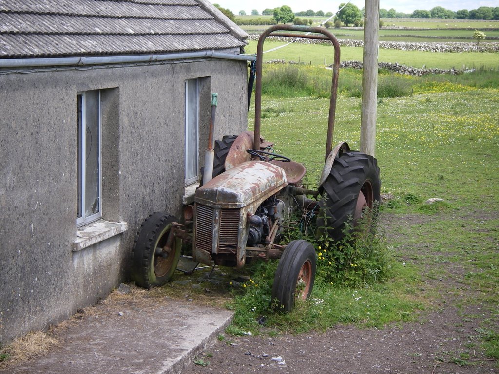
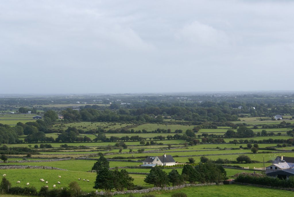
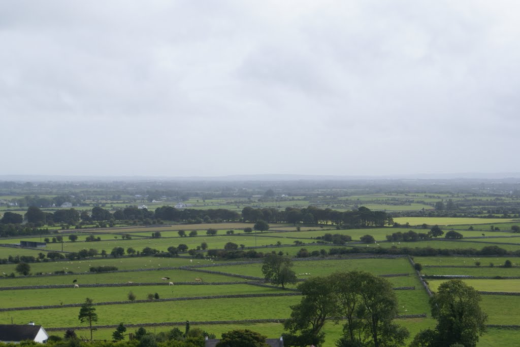
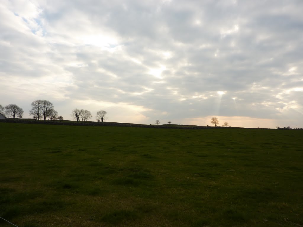
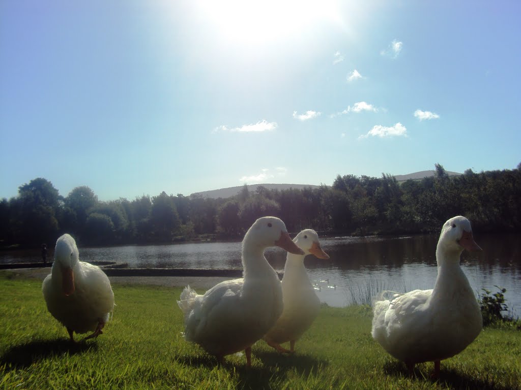
Photos of Corrofin
Corrofin Weather

Predicción: Broken clouds
Temperatura: 7.0°
Humedad: 90%
Hora actual: 05:05 AM
Amanece: 06:26 AM
Anochece: 08:42 PM
Aughrim, Ireland
Latitude: 52.85 // Longitude: -6.31667
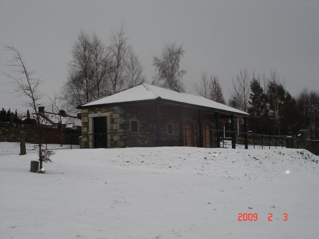
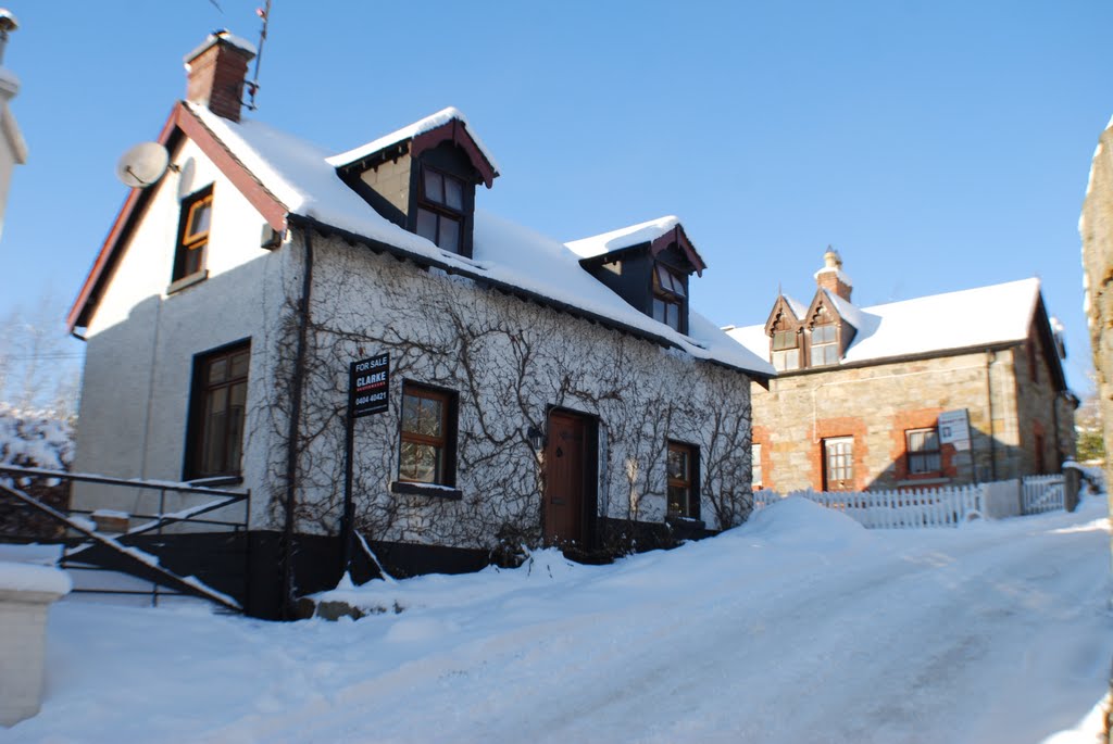
Photos of Aughrim
Aughrim Weather

Predicción: Scattered clouds
Temperatura: 3.8°
Humedad: 92%
Hora actual: 05:05 AM
Amanece: 06:17 AM
Anochece: 08:31 PM


