Distance between  Cong and
  Claddaghduff
34.91 mi Straight Distance
44.96 mi Driving Distance
1 hour 13 mins Estimated Driving Time
The straight distance between Cong (Mayo) and Claddaghduff (Galway) is 34.91 mi, but the driving distance is 44.96 mi.
It takes 1 hour 17 mins to go from Cong to Claddaghduff.
Driving directions from Cong to Claddaghduff
Distance in kilometers
Straight distance: 56.18 km. Route distance: 72.34 km
Cong, Ireland
Latitude: 53.5408 // Longitude: -9.28537
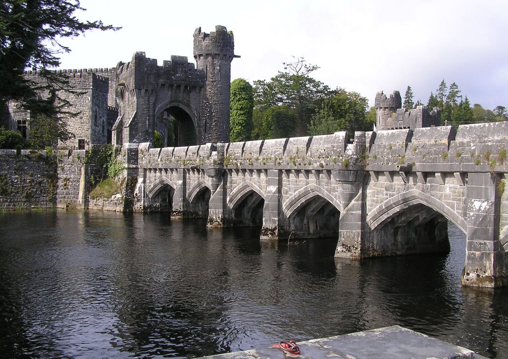
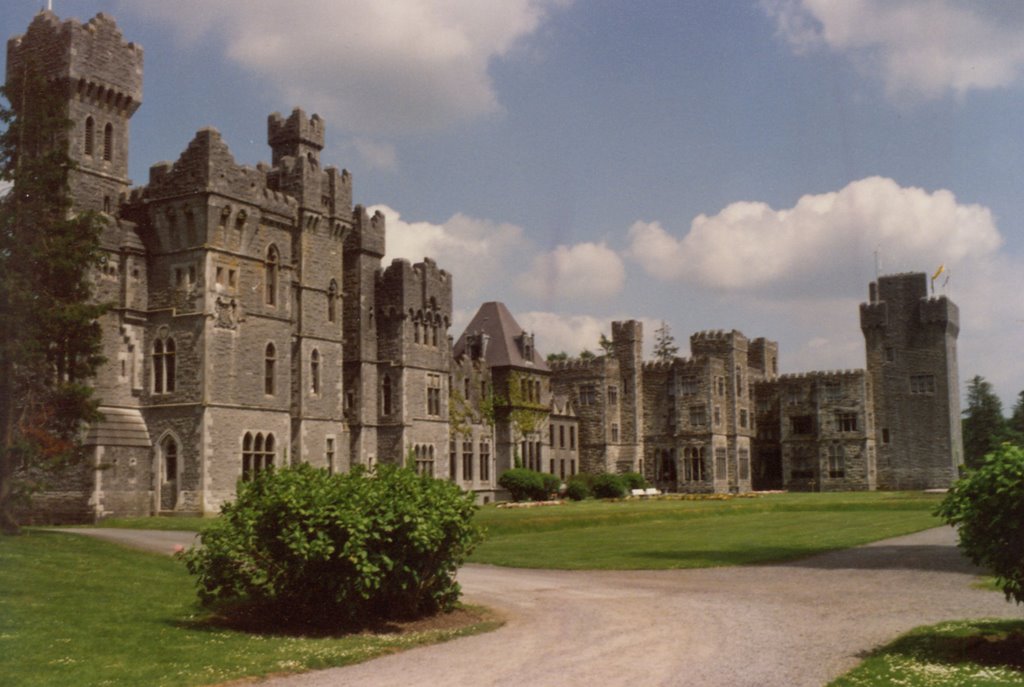
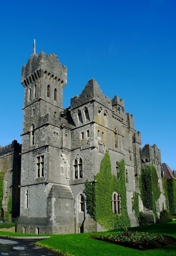
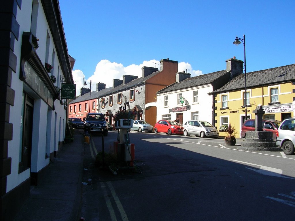
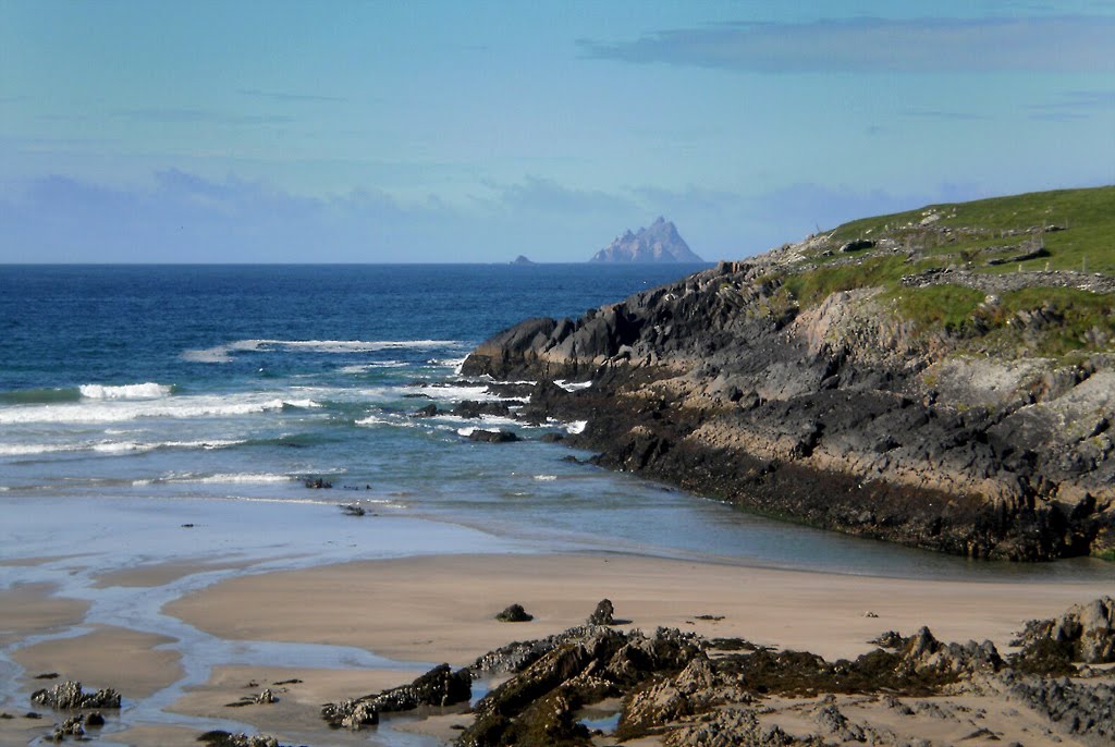
Photos of Cong
Cong Weather

Predicción: Broken clouds
Temperatura: 9.6°
Humedad: 62%
Hora actual: 12:00 AM
Amanece: 05:32 AM
Anochece: 07:41 PM
Claddaghduff, Ireland
Latitude: 53.541 // Longitude: -10.1357
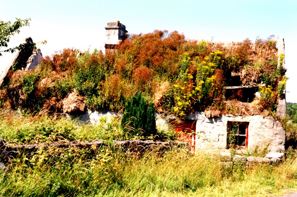
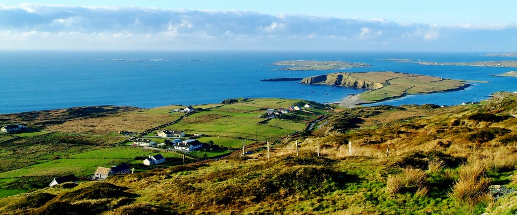
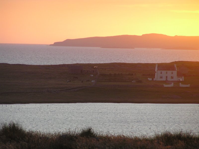
Photos of Claddaghduff
Claddaghduff Weather

Predicción: Overcast clouds
Temperatura: 8.6°
Humedad: 64%
Hora actual: 12:00 AM
Amanece: 05:35 AM
Anochece: 07:44 PM


