
Distance between  Clounanaha and
  Charlestown
77.91 mi Straight Distance
103.15 mi Driving Distance
1 hour 44 mins Estimated Driving Time
The straight distance between Clounanaha (Clare) and Charlestown (Mayo) is 77.91 mi, but the driving distance is 103.15 mi.
It takes to go from Clounanaha to Charlestown.
Driving directions from Clounanaha to Charlestown
Distance in kilometers
Straight distance: 125.35 km. Route distance: 165.97 km
Clounanaha, Ireland
Latitude: 52.8728 // Longitude: -9.2717
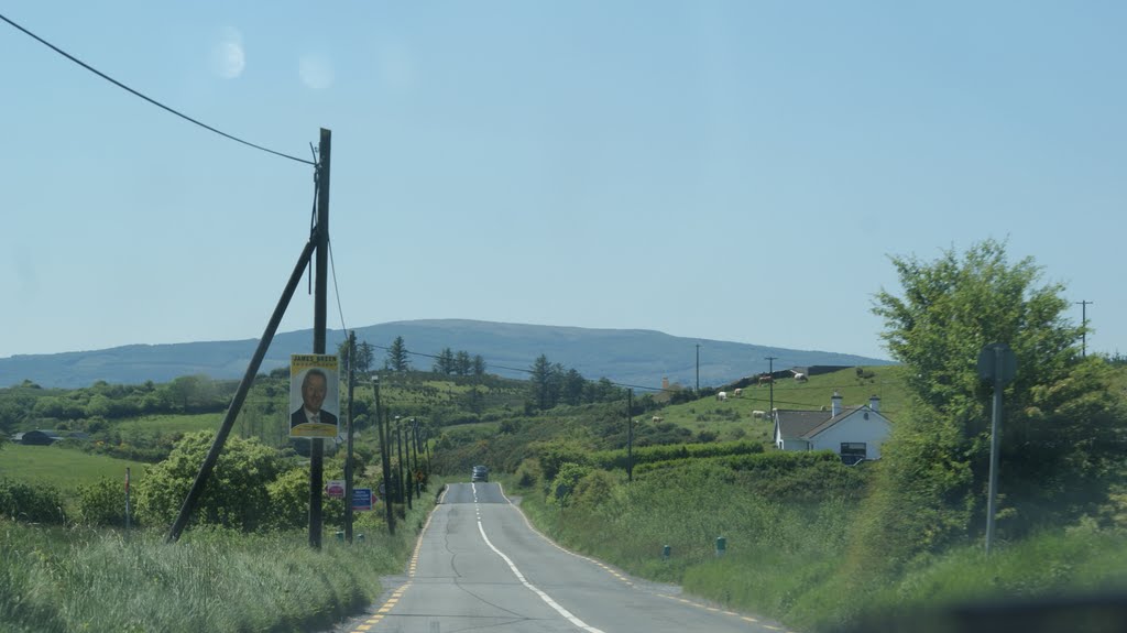
Photos of Clounanaha


Clounanaha Weather

Predicción: Overcast clouds
Temperatura: 9.4°
Humedad: 98%
Hora actual: 12:00 AM
Amanece: 05:26 AM
Anochece: 07:45 PM
Charlestown, Ireland
Latitude: 53.9635 // Longitude: -8.792
Photos of Charlestown


Charlestown Weather
Predicción: Overcast clouds
Temperatura: 8.8°
Humedad: 97%
Hora actual: 02:33 AM
Amanece: 06:22 AM
Anochece: 08:45 PM


